
In College Park today temperatures remained fairly consistent rising up into the high 50’s. However, students were seen sporting umbrellas as we caught a glimpse of some April Showers. Clouds dominated much of the morning and early afternoon, but the sun did start to come out later in the day. The light rain and quick winds in the upper teens were thanks to a weak cold front that passed over much of the East Coast today.
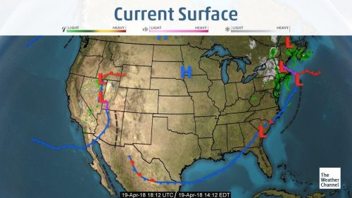
Weather Map courtesy of The Weather Channel
Through Tonight:
We should be clear from rain for the rest of the night as a high-pressure system slowly comes through and causes the clouds begin to dissipate from the atmosphere. The clear skies will allow for a chilly night as temperatures should dip into the mid 30’s, so I would advise some jackets for any late-night activities. Freeze warnings have been posted for counties northwest of I-95, bring in or cover up any sensitive plants.
Tomorrow (Friday):
The sun should be in full swing tomorrow as little to no clouds will call for a bright Friday. Don’t let the sun fool you however, because it should continue to remain unreasonably cold with the temperature only reaching a high in the upper 50’s. The wind should be fair coming from the south west in the 10-15 mph range.
A Look Ahead:
As we look on to the weekend, we should catch some very nice weather as the temperatures begin to rise to seasonable standards in the 60’s. With the upper level ridge developing weakly, we unfortunately shouldn’t see any temperatures in the 70’s. Partly cloudy skies will be the norm for much of the weekend, so feel free to enjoy any outside events.