
Today was a blast to the past for much of the region, providing a stunning turnaround from a gorgeously sunny and warm weekend. With a high today of just 48 degrees, cloudy skies, and a persistent wind, today felt more like January than April.
For those curious why temperatures skyrocketed only to plummet as they have this week, the answer is two fold. The warmer temperatures seen at the beginning of the weekend were thanks to a warm front along with an upper level ridge (ridge = good weather) that marched through the region before a sharp cold front entered from our north.
Through Tonight:
If you thought the daytime was cold, just wait until the sun sets. With a low tonight of a sharp 35 degrees and clearing skies, its going to be chilly out there without a doubt. To make matters worse, winds are expected to gust up to 20 mph, making it a very good idea to bring a coat should you venture out at night – better yet keep warm inside.
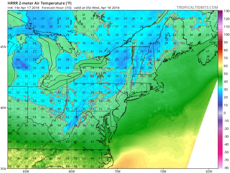
HRRR model’s forecasted temperatures tonight at 1 am. (via TropicalTidbits)
Tomorrow (Wednesday) :
Tonight’s blustery weather will feel like old news as we are expected to rise to a high in the mid 60s with light and variable winds, ranging from 5 to 10 mph. Skies should be clear and sunny, although the arrival of a weak low pressure system later that night brings about a small chance of rain.
A Look Ahead:
The arrival of nicer weather Wednesday should set the stage for our temperatures to remain in the upper 50s to low 60s throughout the week. Otherwise, we should see an end to the cold and wet spell over the weekend, with below average but tolerable temperatures setting the trend.