
Deja vu is what many of us were thinking today, with another cool April day. The 80s we saw last Friday and Saturday were nice when they lasted, right? Only one part of the story of spring was told today and that was the rain and thunderstorms that pushed through the area during the early morning hours, and may have woken some of us up. As a result, spring-like temperatures will be on hold for a couple of days.
Through Tonight:
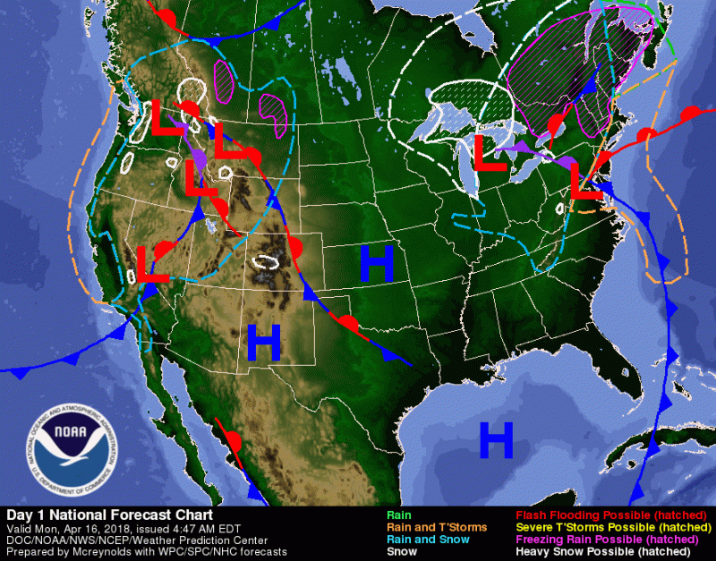
Surface analysis shows trailing cold front from a low pressure system that will filter in colder air. (via WPC/NCEP/NOAA)
Temperatures will hover around the 50 degree mark until sunset as low pressure pulls away and filters in cold air from the north and west. Winds will be noticeable, at 10 mph from the northwest. Clouds will remain even though precipitation chances diminish as the day progresses, so no need to worry about lugging an umbrella. Plan on dressing warmly if you are going to be out and about tonight as temperatures dip down to the upper 30s.
Tomorrow (Tuesday):

High cloud cover for the DMV area during midday on Tuesday. (via NWS/NOAA)
The big story for Tuesday will be the temperatures. Our forecast high is 49, and the average high for mid-April is around 66, so expect to be woken up a bit more than usual when you walk out the door Tuesday morning. Winds will be moderately strong, at 12-19 mph out of the west-northwest. Clouds will be few and far in between in the morning, but expect cloud cover to increase steadily as the day progresses. Precipitation chances remain low from the night before.
A look ahead:
This week is shaping up to be a pretty decent time for outside activities as temperatures rebound close to near-average and rain chances remain low until the weekend, so try to take advantage of the weather conditions while you can!
Featured image via VideoBlocks.