The second week of May started off with a beautiful and seasonal Monday. While the day started off with plenty of clouds, we saw enough sunlight for the temperatures to rise into the low 70s, right on par with the average high of 73°F. When coupled with a light northeasterly breeze, it made for a lovely spring day.
Through Tonight:
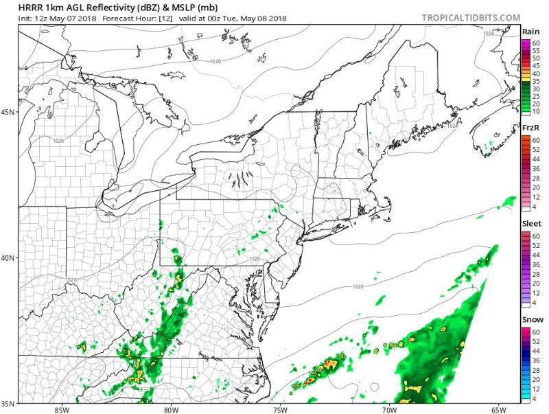
The lingering effects of Sunday’s low-pressure system will continue moving out tonight. That will help to clear out some of today’s clouds through the evening. However, the mostly cloudy skies will prevent our temperatures from dropping off too quickly. Our overnight low temperatures will flirt with 50°F. Winds will remain out of the east at 5-10mph. Also, the region should stay mostly dry through the night, but a spotty shower cannot be ruled out for the western suburbs. Most of those showers should dissipate by morning.

HRRR Model output forecasting rain showers in the higher elevations at 8 PM tonight. (via Tropical Tidbits)
Tomorrow (Tuesday):
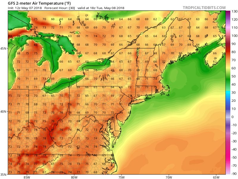
Tomorrow should be even more picturesque than today. Thanks to a high pressure ridge building from the west, we should see far fewer clouds in the area. The increased sunshine will help temperatures rebound into the mid 70s. The winds should stay out of the northeast at 5-10 mph. A chance of a shower remains for the mountains, but the DC metro area should stay dry through most of the week. This pattern will help set up a warm-up for Wednesday, with the return of high temperatures in the 80s.

GFS model output forecasting temperatures at 2 PM tomorrow. (via Tropical Tidbits)
