
Despite the beautiful clear skies, today’s high temperatures struggled to reach 34ºF. The high-pressure system responsible for those clear conditions brought with it some serious winds as it moved in from the west. Winds clocked in at 10-20 mph this morning with occasional gusts up to 25 mph. This made for a miserable walk across campus as wind chills lingered in 20’s for most of the day.
Through Tonight
Today’s strong winds will continue to diminish overnight. Dry and clear conditions will continue through most of the evening before giving way to increasing clouds. Temperatures should dip into the mid-20’s through most of the metro area.

TerpWRF model output showing overnight temperatures (Source: UMD Trowal)
Tomorrow (Tuesday)
Partly cloudy skies through the day tomorrow. A southwesterly wind will help temperatures rise into the mid-40’s during the day. A weak cold front will push through the region but is unlikely to bring us any precipitation in the immediate metro area. Points west may see some a wintry mix.
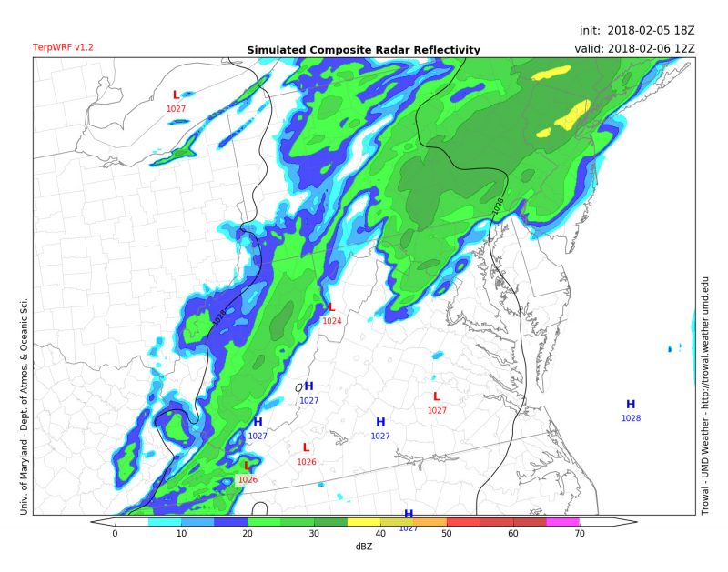
TerpWRF model output showing some potential precipitation in the area from Tuesday into Wednesday (Source: UMD Trowal).