
Yes, winter is back, and it looks like it wants to stick around. Over 24 hours we have seen quite a shift in the weather. Yesterday it was in the 70s and sunny, but the temperatures have dropped about 30 degrees. Throughout the day we saw some snow showers and wind gusts reaching 30 mph. The weekend shows no signs of the cold letting up either– a bad sign for cherry blossom trees as peak blossom is pushed back to March 19-22.
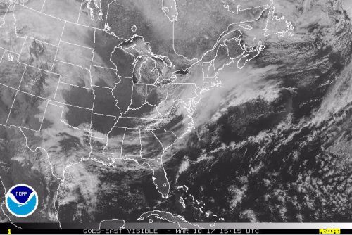
GOES-E satellite’s visible band at 10am today, showing the clouds that brought us some flurries and is moving off the coast
Through Tonight:
Brrrr, it’ll be a cold night if you’re heading out! Temperatures will continue to drop, with mid-30s by 8pm, mid-20s by midnight, and a minimum temperature approaching 20 degrees. The winds won’t settle down either. The 15-18 mph winds and 20+ mph gusts in the early evening will make the temperatures feel in the teens. On the bright side, you won’t have to worry about snow or rain affecting any commutes.
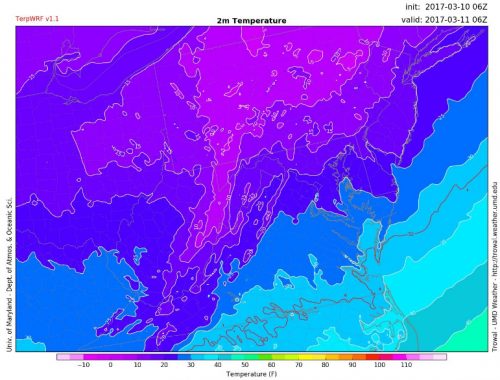
TerpWRF 2-meter temperatures for 1am this evening, showing DC region in upper-20s (Fahrenheit)
Tomorrow (Saturday):
Expect more cold and windy conditions. While the sun will be out, morning temperatures will stay in the 20s and maximum temperature will barely reach mid-30s. The 14-17 mph winds and 20+ mph gusts will make it feel 10 degrees lower too. Not the best day for outdoor activities.
Sunday:
Did I mention it will be cold? Because it will still be cold. Sunday’s maximum temperature will reach upper-30s. However the winds won’t be as gusty – just slight breezy at 6-9 mph – and there will be mostly sunny skies.
A look ahead:
Here at UMD Weather we have been keeping up with the potential snowstorm Monday evening into Tuesday. To learn more about potential impacts, go here for a separate blog post on this event. Also, follow us on Twitter and Facebook for constant updates!