
Today:
Expect another sunny and dry day in College Park! Morning temperatures will start in the upper 30s to low 40s, bringing clear skies with them. By the early afternoon, expect partly cloudy conditions, with temperatures rising to a daytime high in the low 50s. Winds will pick up, strengthening from the calm conditions we’ve enjoyed in the recent days to 10-15 mph with gusts up to 25 mph! As the early evening approaches, temperatures will dip back into the high 40s, and skies will clear up.
Tonight:
Temperatures will stay in the mid 40s with clear skies. Expect clouds to move in, bringing overcast skies starting at around 3 a.m. Winds will be light and variable around 10 mph.
Saturday:
Expect a humid day with partly to mostly cloudy skies. Morning temperatures will start in the mid to upper 40s before warming to the low 60s by the afternoon. Winds will be stronger than in previous days, starting around 10 mph in the morning and increasing to a peak of 17 mph in the afternoon, with gusts reaching up to 31 mph. Welcome back, wind!
Looking Ahead:
Looking ahead to the rest of the weekend and early next week, temperatures will drop to the high 30s on Sunday, marking a noticeable shift from the warm weather we’ve been experiencing recently. However, as the beginning of the week approaches, temperatures will rise once again. Clear conditions will dominate for the next couple of days before showers are expected to arrive mid-week!
Discussion:
After a brief warm-up, Friday and Saturday will bring some noticeable changes. As we move into Friday, the remnants of a low-pressure system will still be affecting the region. As the attached cold front pushes through our region and moves offshore, we will see partly cloudy skies and cooler temperatures.
By Saturday, the cooler and drier air will dominate, with a high-pressure building in behind the departing front. The day will start with partly cloudy skies, but overall conditions will be dry, though still a bit cooler than earlier in the week. The wind chill may make it feel slightly cooler, so it’s a good idea to layer up if you’re spending time outdoors.
The shift in weather will bring back more typical late-winter conditions, but Saturday will offer a brief break with clear skies before the next system arrives!
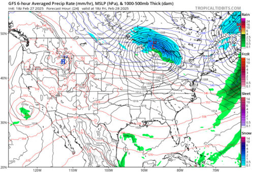
Via www.pivotalweather.com
This image shows the GFS radar for Friday afternoon. If you take a look at Maryland, we don’t see any precipitation on the radar.
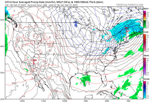
Via www.pivotalweather.com
Here is the same GFS radar for Saturday with the daytime high in the low 60s; get outside and go enjoy it, Terps! Don’t forget your jacket though!
That’s all for now! Stay tuned for future updates, Terps!
Writer: Madison Magaha
Editor: Frances Schoenly
Featured image by Frances Schoenly