Today: As another cold front moves in (cold-er front?), temperatures will remain frigid all day today. The high will not make it out of the mid 30s and the low could possibly be in the teens. High pressure is building, and with it comes winds gusting above 30 mph at some points today, so wind chill will be an additional factor. There is no chance of precipitation today as skies will be clear for the majority of the day.
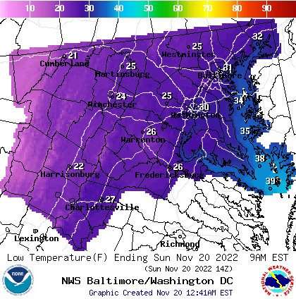
Tonight: The coldest night in a week of very cold night, tonight will bring frigid temperatures but not too much wind. Clear skies will allow for much of the minimal heat we received today from the sun to escape back into space, leaving us with very cold weather tonight.
Tomorrow (Monday): Thanksgiving week begins with slightly warmer temperatures in our area. Skies will remain clear and sunny, helping us warm up during the day but cool off more at night, as seen with the high near 45 and the low near 30. It will be a bit breezy in the morning, but otherwise it should be a calm but cold start to the week.
A Look Ahead: More instability in the atmosphere will move in through Tuesday and Wednesday, with the possibility of rain coming with the associated low pressure system. However, chances are not high for precipitation as it is very uncertain at this point. What is certain is that temperatures will finally give a brief repreive from being frigid to stick around the mid 50s for a couple days into the weekend.