Yesterday’s 80 degree high is long behind us, and we’re back to the seasonal averages in the 70s. Unfortunately for the Terps craving sunny skies, a minor cold front is currently rolling through campus bringing clouds throughout most of the early morning. Also, don’t expect to see any showers today as the front doesn’t have the strength.
Tonight (Wednesday):
By the time the sun goes down, the cold front will be long gone. Instead, the cold front will be replaced by a warm front overnight. The new front should bring lots of clouds and the possibility for some drizzle. On the upside, the thick layer of clouds will mitigate the dropping temperatures yielding a moderate night with temperatures in the high 50s to low 60s.
Tomorrow (Thursday):
The tail-end of the warm front is expected to bring some additional showers early Thursday morning but the rest of the day should be free of rain. The clouds on the other hand, will be hanging out with us all day. Expect to see very little of sun throughout most of the day, but there should be some breaks in the late afternoon.
Tomorrow Night:
Thursday night will look very similar to Wednesday night with thick clouds and mild temperatures. Don’t expect temperatures to dip anywhere below the mid 50s. As for rain, scattered showers are not out of reason for the early parts of the night, but as the night transitions into Friday the rain will only strengthen.

A Look Ahead:
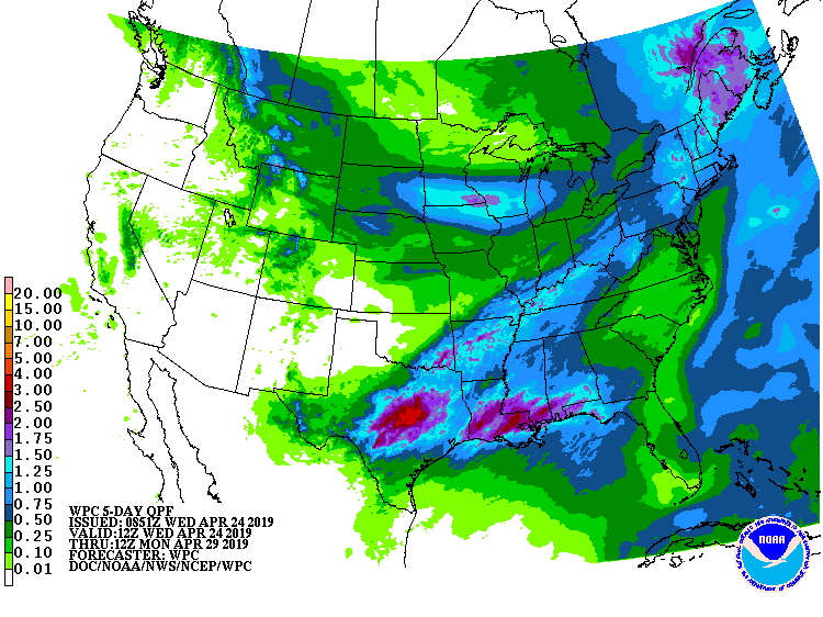
Friday will bring those April showers we’re all too familiar with. It should rain throughout most of the day with the worst of it coming in the late afternoon. Looking ahead to the weekend, the bright sunny skies and beautiful weather should return making for a perfect Maryland Day. Try to get outside as much as you can before the struggles of finals hits!
Featured image via pixabay
