
Terps had a snow day in store that was a fresh breath of icy air to some (hello early start to the weekend!) and an unwelcome whammy of winter to others. Our total expected snowfall will likely only accumulate to between 1-3 inches, so read on to figure out why school had an early closure. And even snow junkies will probably be happy to know that the bone-chilling temperatures are skating out the door as the polar vortex relinquishes its last icy grip tonight and we swing toward warmer temperatures for the weekend.
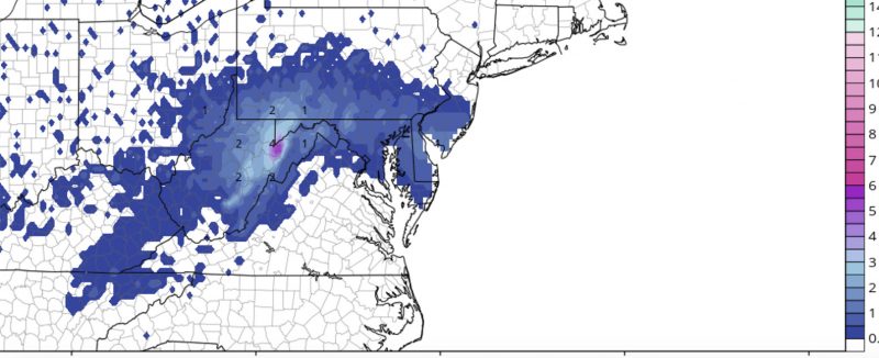
Snowfall totals are likely to just reach within 1-2 inches but drivers should still be careful as icy roads are likely (via GFS).
Tonight:
Continue to bundle up tonight and exercise caution if you must drive or walk around campus. This may just seem like a dusting of snow but with low temperatures dipping into the high teens tonight, slick roads and walkways are sure to be a reality. The low pressure system causing the snow will also say sayonara tonight along with the polar vortex temperatures, so warm-weather fans do not despair! Calmer winds around 5-6 mph are also on tap, which won’t help mix up any of the chilly air but will lead to less wind-chill as a silver lining.

Warmer temperatures on the way as we swing out of the cold phase of the polar vortex (via GFS).
Tomorrow (Saturday):
Stay in bed as long as possible Saturday as the morning will be frosty and cold with morning lows in the lower 20s. Give the ice some time to thaw and delay any morning activities to avoid some still icy roads. On the bright side, the sun should peak its head outside tomorrow and mark a period of warmer temperatures to come. Highs should reach into the mid-40s (tropical!) by mid-afternoon and light southwesterly winds will help usher in this warmer air.