
Happy Sunday Terps! Today’s weather was absolutely phenomenal for those of you who, like me, still can’t accept the fact that “summer has come and passed.” Temperatures were up in the 80s today with mostly sunny skies and very gentle winds. Unfortunately, those of you who are looking for conditions to cool off a bit will have to remain patient for a little while. A high pressure system out in the Atlantic will stall the advancement of an approaching cold front, which will give us warm and bright conditions throughout the early stages of this week.
Tonight:
Partly cloudy skies with low temperatures dropping down into the upper 60s. Foggy conditions are possible in the early morning hours.
Tomorrow (Monday):
You can expect very warm weather to start out the school week as temperatures will once again hit the 80s. There is a very small possibility for afternoon showers depending on the advancement of the stalling frontal system. Otherwise, skies will remain partly cloudy with still surface winds.
Tomorrow Night:
Expect temperatures to dip down into the upper 60s with higher levels of humidity. Fog is once again possible early in the morning.
A Look Ahead:
The cold front that is predicted to stall out on Monday should completely dissipate on Tuesday. This should continue to keep weather conditions warm and with almost no chance for precipitation during the day. Conditions on Wednesday will largely depend on the track of Tropical Storm Michael. We’ll keep you updated throughout the week!
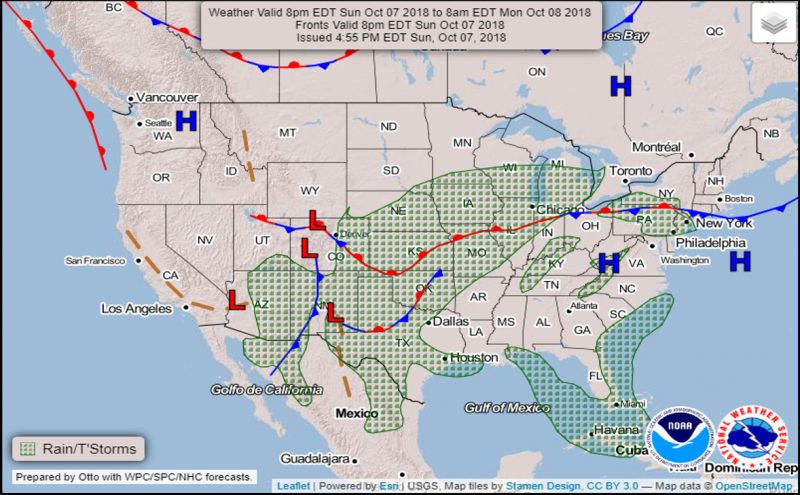
WPC’s new experimental forecasting chart showing rain/t-storms and frontal boundaries for October 8th, 2018 (Courtesy of the Weather Prediction Center).
Featured image via Pixabay.com