
Today was quite the turnaround compared to Tuesday as sun dominated the sky with temperatures climbing well into the upper 50’s and low 60’s across much of the region. Heavy coats were put away for light sweaters, as a light breeze of 5-10 mph still kept a touch of chill in the air. A small, but noticeable upper level ridge is what allowed for temperatures to rise into spring like form. Unfortunately, the ridge won’t last and we should be looking at a chilly end to the week.
Through Tonight:
The sun will continue to dominate through the evening, with very little cloud cover in the forecast, adding to what could be an incredibly picturesque sunset. Temperatures should slowly fall through the overnight hours, bottoming out in the mid-to-upper 40’s across campus. An upper level disturbance swinging through the region will carry the very small chance of a shower late into the overnight hours. Winds should remain light out of the southeast.
Tomorrow (Thursday):
Although the sun won’t dominate and temperatures should remain below the 60 degree mark, Thursday should still offer plenty of the perks of a spring day. Partly sun skies could give way to isolated showers into the afternoon with temperatures rising to the mid-to-upper 50’s across much of the area. Breezy conditions will allow for a chilly, northwest wind between 15-25 mph. Terps should pack a heavy sweater, as the wind will have quite the bite to it.
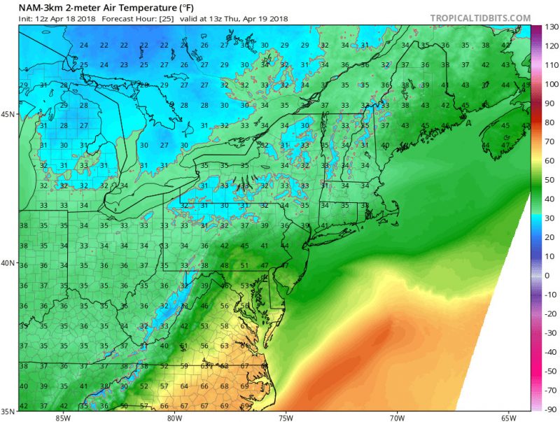
NAM Model Showing Temps In The Mid 50’s Thursday. (TropicalTidbits)
A Look Ahead:
A ridge building into the eastern half of the United States late this week will lead to beautiful weather through the weekend. Sunny skies should dominate the region over the weekend, with temperatures remaining in the low 60’s. Gradual warming should continue into next week, where could take a shot at 70 degrees!
Featured image via Pixabay