
Continuing with our trend of unseasonably cold temperatures, Monday started out both chilly and cloudy. Some areas to the west of DC even saw some snow flurries. Actual accumulation was isolated to the mountains, but April snow is nevertheless noteworthy. Closer to home, the skies over College Park remained overcast through most of the day. If you were lucky, you might have seen the sun make an appearance around midday. Those cloudy temperatures helped keep our temperatures well below average. We maxed out at only 45°F today. Thankfully, an upcoming pattern change will help usher some springtime warmth this week.
Through Tonight
A weak low-pressure system will continue its trek across the region this evening. It will keep us cloudy through the night and bring another chance of precipitation. We may see some light rain showers through the late evening hours. Snow showers are possible in the higher elevations. Our temperatures will drop into the mid-30’s overnight. Winds will be light and out of the southeast at 5-10 mph.
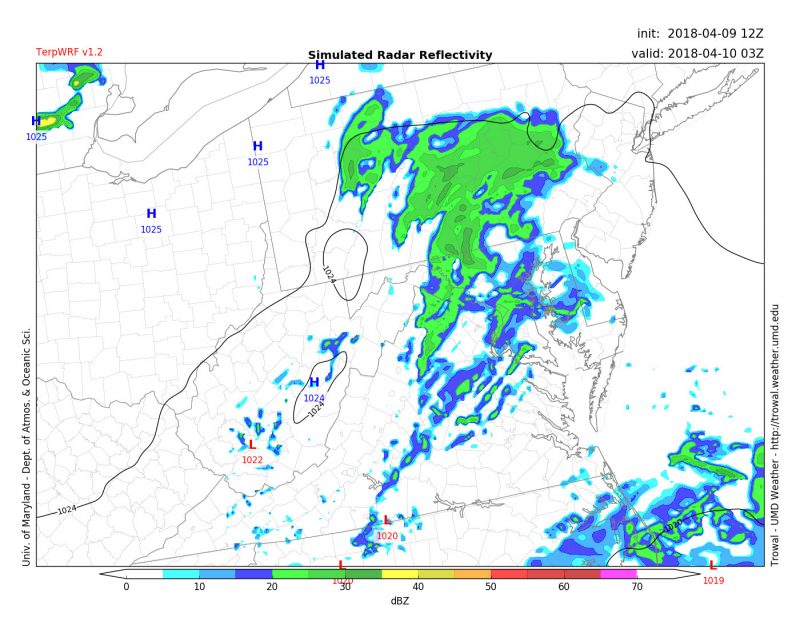
TerpWRF model forecast for rain showers around 11 PM Monday evening. (Source: UMD Trowal)
Tomorrow (Tuesday)
Sunshine will return tomorrow as a high-pressure system builds in from the west. The day should start out chilly, but quickly warm up under partly cloudy skies. Tuesday’s high temperatures will rise into the high-50’s. They may even flirt with 60°F near the city. Winds will be out of the north-northwest at 5-10mph. Tomorrow’s slight warm-up is just a taste of what’s to come later in the week.
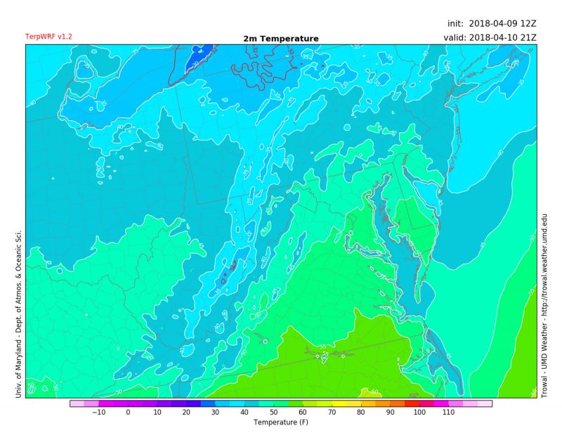
TerpWRF model forecast for temperatures around 5 PM Tuesday afternoon. (Source: UMD Trowal)