
Today finally gave us spring weather, with temperatures in the upper 60s, and clear skies. This weather was a welcome respite from what we’ve been having – winter conditions lingering around well into spring. Unfortunately, it looks like we could see a return of these winter conditions this weekend, and there’s even a chance for snow.
Through Tonight:
Temperatures fall slowly through the beginning of the night, still being relatively warm in the mid 50s at midnight (the fact that mid 50s is relatively warm at this time of year says something about how cold it’s been). However, a cold front comes through during the late night and early morning hours. The cold front will bring cloud cover and light rain and snow with it, bringing temperatures down into the low 40s by sunrise.
Tomorrow (Saturday):
The overnight cold front brings temperatures way down compared to today, and cloud cover prevents it from getting much warmer. A high in the mid-40s tomorrow is over 20 degrees colder than today’s high and is a sign of what’s to come. Temperatures continue to drop into the night, falling below freezing sometime around midnight. Those freezing temperatures combined with light precipitation means there’s a chance for snow overnight, however, any serious accumulation is unlikely.
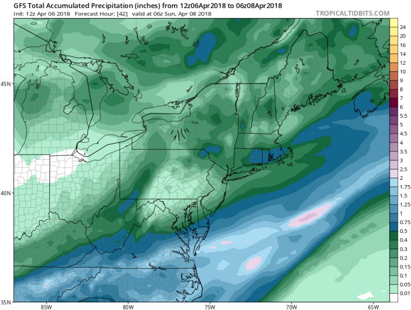
Light snowfall Saturday night could see some snow stick, but most likely less than half an inch. (via Tropical Tidbits)