
After yesterday’s pleasant weather, today continued that trend, but a cold front is moving in bringing some rumbles of thunder to the area. This weekend will feel like true spring weather.
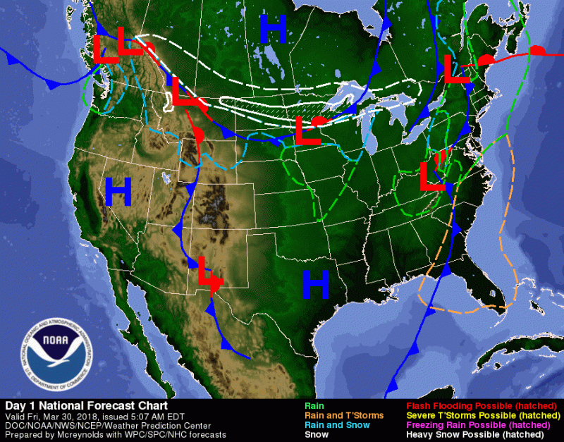
An approaching cold front that will bring a few showers and cooler weather tonight to the region. (via WPC/NOAA).
Through Tonight:
Clouds will begin to break up during the early evening. As skies begin to clear, the temperatures will take a nose-dive into the mid 30s. Winds will continue from the northwest at 8 to 14 mph, with gusts around 20 mph.
Tomorrow (Saturday):
Mostly sunny skies will dominate the day, with a highs in the upper 50s. Winds will begin light and variable, shifting to south 5 to 9 mph in the afternoon. Clouds will being to develop late afternoon and evening, becoming mostly cloudy by late evening keeping temperatures from plummeting as much as the night before. Lows will be in the mid 40s for the area as winds are out of the southwest at 9-13 mph.
Easter:
Mostly cloudy skies continue for Easter as high temperatures rise back to upper 50s for the area. A chance of rain is possible in the late afternoon early evening as another cold front swoops through. Keep updated on exact timing as Sunday nears because the timing can change by a few hours. Lows will fall the upper 30s as another wave of cold air envelops the region, possibly giving us some precipitation, even in the form of snowflakes possibly.
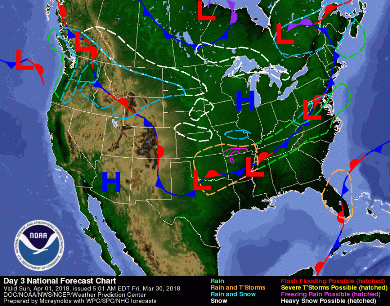
Another cold front that will bring more rain and cooler weather to the region (via WPC/NOAA).
Feature photo courtesy of Pixabay.