
After having several days of fair weather and sunshine, Friday will feature numerous showers and possible thunderstorms. This comes from an onslaught of moisture set to take aim at the mid-Atlantic region.
Through Tonight: Cloudy skies remain ahead of the cold front that’s poised to take aim at the East Coast on Friday. Temperatures will stay quite mild in the low 60s ahead of the front throughout the overnight hours. Showers should roll in after 7 pm and be scattered throughout the night.
Tomorrow (Friday): Grab an umbrella or raincoat before you head out. Morning temperatures will start out in the low-to-middle 60’s. By afternoon, temperatures will quickly push to the mid-to-upper 70s. The timing of the cold front will be tricky, but we expect the rain to start in the early afternoon. There is the potential for a line of severe thunderstorms to pass through sometime in the mid-afternoon. We expect this to be more of a damaging wind threat rather than a risk of tornadoes or hail. Flooding may also be a risk as over an inch of rain is possible across the entire local area.

The SPC has given our area a marginal risk of severe thunderstorms on Friday (Source – Storm Prediction Center)
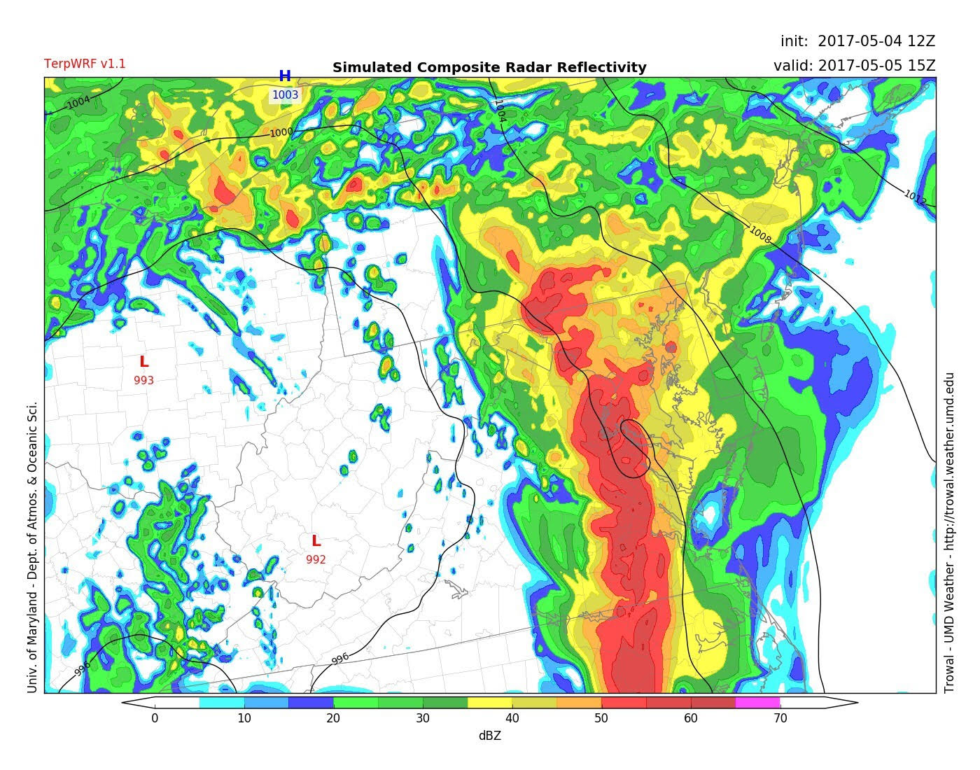
Simulated reflectivity around 2 PM on Friday showing the line of thunderstorms making their way across our area (Source – UMD TROWAL)