
The morning rain brought a deluge to the DMV area. In fact, between 4-10am, Reagan National Airport measured 1.48 inches of rain. These showers are not expected to let up. There is a slight chance of showers throughout the afternoon and evening, and a likely chance of off-and-on showers Saturday afternoon.
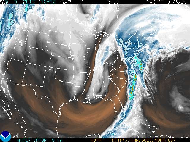
GOES-E (upper-tropospheric) water vapor image for 11:45 am on Friday, showing the extratropical cyclone passing over our region
Through tonight: A gloomy evening ahead. Until midnight there is a 40% chance of showers, and a smaller chance after midnight. Otherwise, skies remain mostly cloudy. Through the evening expect sustained winds out of the south at 13-16 mph, with gusts up to 25 mph. Temperature will drop to mid-60s by 9pm and reach a minimum temperature of upper-50s around 3am.
Tomorrow (Saturday): Grab the raincoat and rainboots. There is the highest chance of rain in late morning through mid-afternoon. Temperatures will hover in the lower-60s for most of the day in mostly cloudy conditions. Still fairly breezy as well; expect 14-17 mph winds and 20-15 mph gusts until evening. By 5pm the chance of rain drops to 30% and becomes unlikely after 8pm. Winds settle to 11-14 mph and temperatures reach lower-50s overnight.
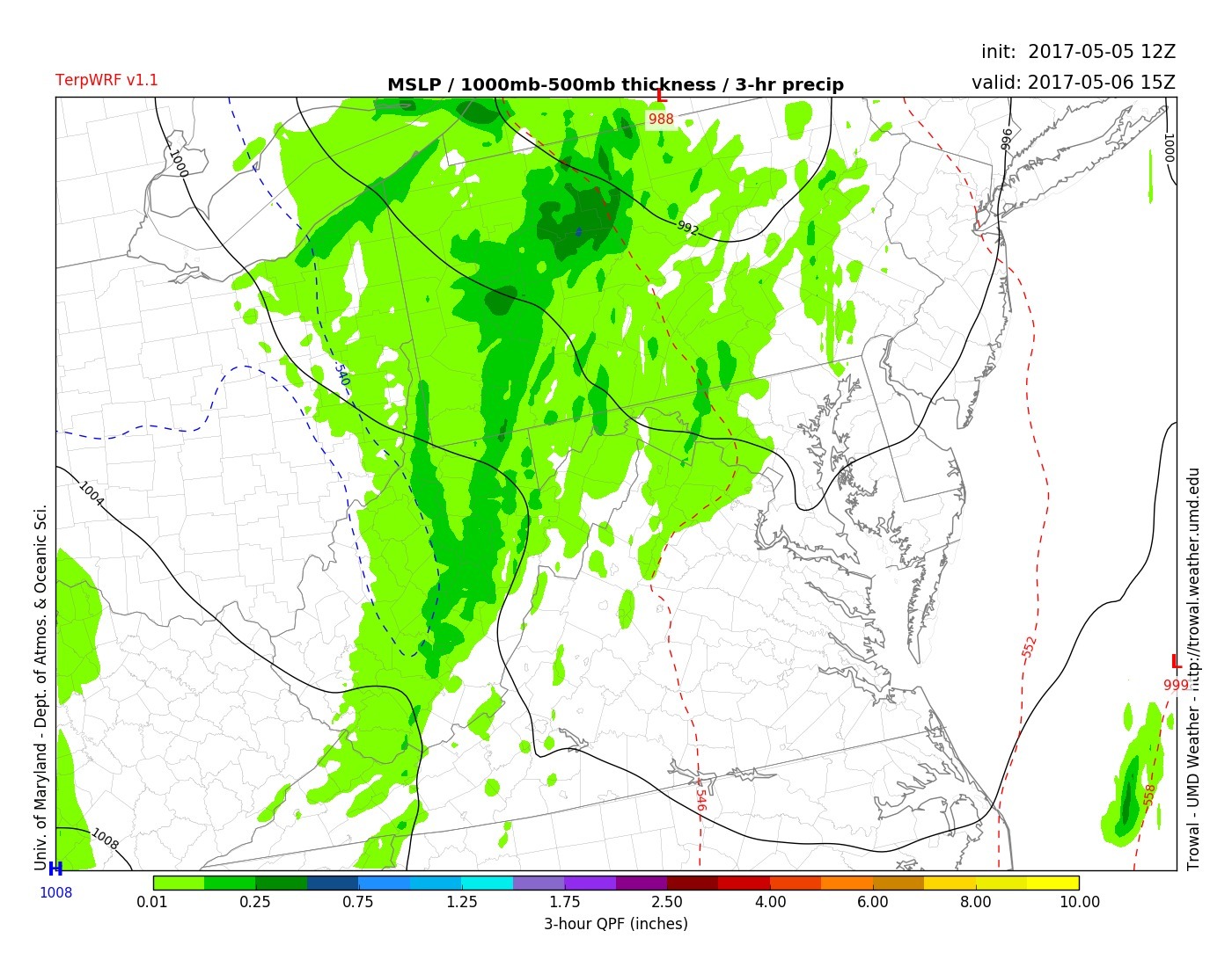
TerpWRF 3-hr precip for 11am on Saturday, showing light rain moving in parts of MD (via Trowal)
Sunday: Perhaps a break from the dreariness? Partly sunny and a high temperature in lower-60s. Still quite windy and a slight chance of showers, but a slight upgrade from earlier weekend.