We have made a remarkable comeback from the dreary weather earlier this week. Although the gray Monday to begin our week was not the best of weather, the rain was much needed. As that stubborn low pressure has seen its way out to sea, it has been supplanted with warm and sticky weather.
Through Tonight:
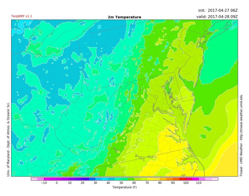
A weak cold front sweeping through will try its best to give us a shot at an isolated thunderstorm or two overnight. Especially in areas that see a thunderstorm, some patchy fog is not out of the question in the late night hours. Southerly winds at 10-15 mph will accompany our low temperatures in the low to mid 60s.

TerpWRF Model keeping us in the 60s overnight (via Trowal)
Tomorrow (Friday):
Tomorrow’s weather will give you a reason to smile other than the fact that it is Friday! Temperatures will climb back in to the lower 80s with the help of winds from the south. We will catch a breather from the humidity as an added bonus. A cloud or two may pop up in the sky, but other than that skies will remain mostly clear for your tanning pleasure.
Maryland Day (Saturday):

Record high temperatures are possible on Saturday as thousands take campus for Maryland Day (via HerCampus)
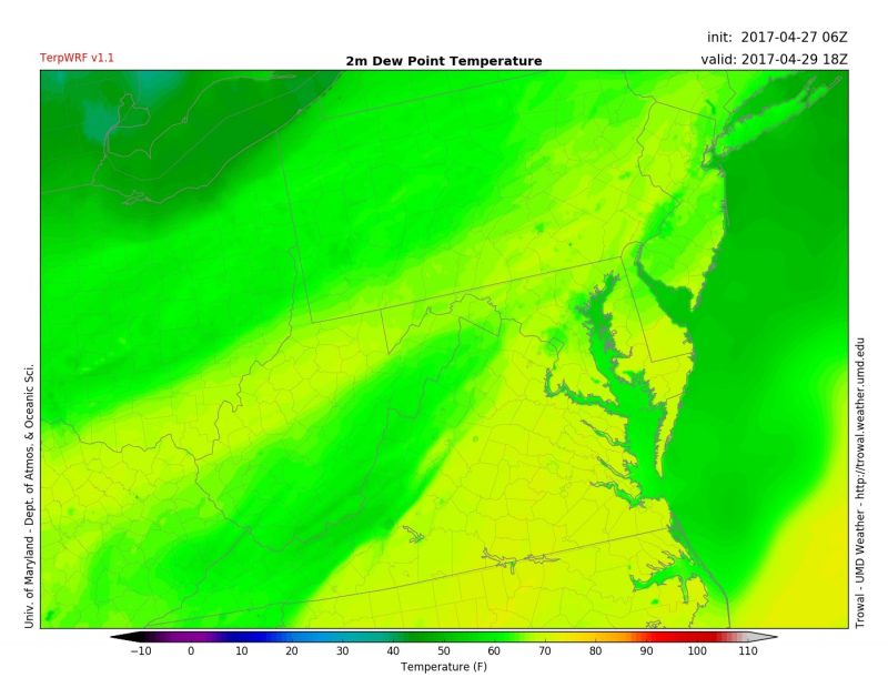
Everyone participating in Maryland Day will get a nice taste of mid July. Not-so-muggy weather on Friday will be replaced by summer-like conditions on Saturday, just in case you missed that hot and humid feeling. Temperatures very well may already be at 80 by the time the event commences at 10 a.m. The high could tip 90 as well, and with ample humidity. The record high temperature for D.C. on Saturday is 91 degrees, set back in 1974. With the heat there comes a chance of pop-up thunderstorms, but they likely would not occur until after 4 p.m., which is good news for Maryland Day.

Saturday will also feel muggy as dewpoints will be well into the 60s during the day. (via Trowal)
Follow us on Facebook and Twitter for updates leading up to Maryland Day!
Feature photo courtesy of Pixabay
