
Today:
Today will be mostly cloudy with a low chance of precipitation until about 4 p.m. with temperatures expected to reach a high of 47 F. There will be a gentle breeze of 4 mph in the afternoon. We can expect yet another event of rain starting in the evening and continuing into the night, so bring your raincoat and umbrella for the commute home!
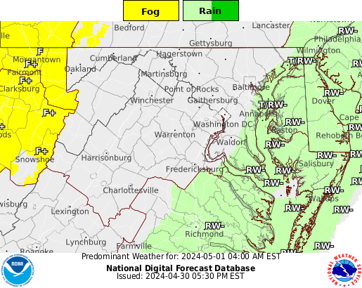
(image via https://graphical.weather.gov/)
Tonight:
Temperatures will drop in the lows 40’s later in the night with surface winds of about 7 mph. Precipitation will likely occur and continue into the early hours of Thursday morning. We can expect an overcast of clouds to form into the night and persist until early Thursday morning.
Tomorrow (Thursday):
There’s a high chance of precipitation to occur early in the morning which will then cease by noon. Temperatures on Thursday will be the warmest of this week, with a high of 60 F in the afternoon. We can expect winds of about 10 mph in the afternoon as well. Cloud cover will decrease throughout the day. Temperatures will fall during the night into the low 30’s
A Look Ahead:
After Thursday, there will be no need for rain gear! Though, temperatures will drop into the weekend, so pile on the layers of clothes and stay warm. We can expect mostly sunny skies with temperatures in the mid-30’s throughout the weekend until Sunday.
Featured image via Pixabay