
Today:
After some record-breaking high temperatures last week, we’ll get back to the early October conditions we’re all so familiar with. Today, the high will be in the upper 60s while clouds cover the campus for most of the day.
Tonight:
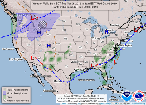
Yesterday night, a cold front brought some much-needed rain to Maryland, and that trend will continue as rain will fall in the early hours of Wednesday. Additionally, much like yesterday, the rain won’t be hefty; expect less than half an inch. A cloudy night looks to bare a moderate night with a low around 60 degrees. If you plan on a “Turf Tuesday” a jacket may be the move.
Tomorrow (Wednesday):
Once the AM showers pass foresee conditions similar to today. Clouds will be overhead for most of the day and winds will be light, peaking just below 10 mph. However, temperatures will be slightly cooler with the max temperature in the low 60s. As we look ahead, a high-pressure system will settle over the area bringing clear skies and high 60s for the rest of the week.
featured image via pixabay.com