
Monday morning greeted us with abundant amounts of sunshine and cooler-than-average temperatures. We’d expect to see high temperatures in the mid-50’s for early March but today’s high only reached the mid-40’s. Even with these relatively pleasant conditions, we still had to contend with some winds. We had a light wind out of the northwest with some occasional gusts up to 25 mph. Today was a far cry from the dangerous conditions we saw last week.
Through Tonight
The area will stay dry overnight, but with some increasing clouds. Our winds will shift out of the northeast at 5-10 mph. This should help temperatures to fall into the low-30’s across the region. Some spots may dip into the high-20’s.
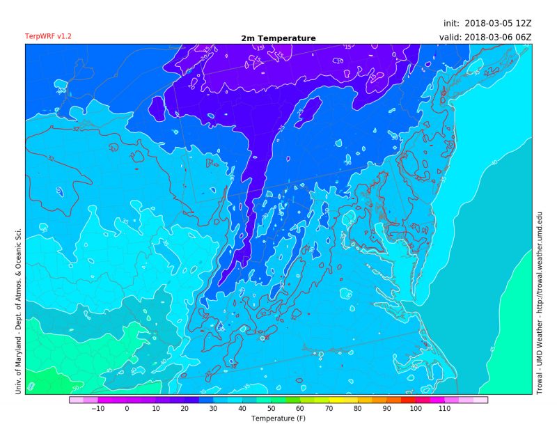
Model output forecasting temperatures at 4 AM Tuesday morning. Source: (UMD Trowal)
Tomorrow (Tuesday)
Bring a small umbrella with you tomorrow. The morning should start out sunny, but clouds will move in during the early afternoon. A low-pressure system will push into our region from the east, increasing our chances for showers in the afternoon. Temperatures will rise into the mid-40’s with a light wind out of the south. Sleet or a few wet snowflakes may mix in with the rain later in the day, especially north of D.C.
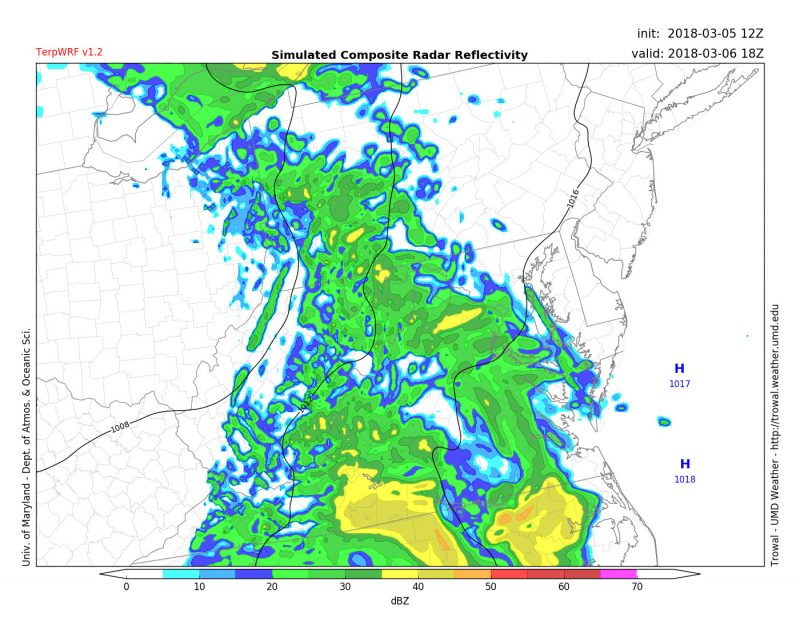
Model output forecasting showers moving into the DMV around 1 PM Tuesday (Source: UMD Trowal)