
Today was a beautiful day with much cooler temperatures and much less humidity that made being outside pleasant, instead of being a burden. Even still, temperatures are slightly above average historically. Tomorrow and the weekend will bring temperature down to average and even a little below average, while still remaining dry outside. College Park has not had measureable rain fall in two weeks so be mindful if you are burning anything for the next few days.
Through Tonight:
Tonight will remain mostly clear allowing the temperatures to fall into the low 50s . Winds will die down to 5-10 mph out of the northwest.
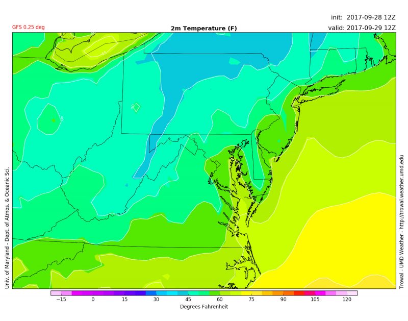
This is a image from the GFS shows the predicted temperatures at around 6:00 AM. Temperatures are expected to drop to mid to low 50s by tomorrow morning. (via Trowal)
Friday:
Friday will be a very similar day like today, with high temperatures in the low to mid 70s with calm winds. Tomorrow would be a very nice day to walk about campus and relax on the mall. Tomorrow night will continue to be mainly clear with lows in the mid to low 50s.
Weekend Outlook:
Saturday and Sunday will be even cooler as another cold front passes through with highs only reaching the upper 60s. Mostly to partly sunny skies look to continue for the weekend. This will truly be the first fall weekend temperature wise.
Tropical Update:
With Maria and Lee both moving away from the U.S., there is one disturbance in the Florida Straight the may develop in to the tropical storm in the next few days. The National Hurricane Center gives a 30% chance of development in to a tropical depression in the next 2 days.
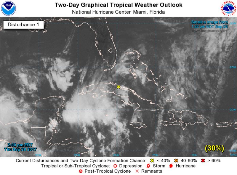
This image from the National Hurricane Center shows the latest disturbance in the Atlantic Region. There is a moderate chance that this disturbance will strength to a tropical depression over the next few days.