
It was quite a pleasant day in College Park with signs continuing to hint at spring. Warm weather will hang in our area tomorrow as a high pressure remains to the the south. Don’t get too comfortable with this warm weather though! Cold air will be moving into the Mid-Atlantic again on Saturday with high temperatures expected to be in the mid 30s (20 degress below average).
Through Tonight:
After a breezy afternoon, winds are expected to settle to around 10 mph this evening, out of the southwest. Skies will remain mostly clear with overnight lows reaching the lower 40s.
Tomorrow (Thursday):
Sunny and warm tomorrow! The high pressure system will stay to our south for most of the day allowing ample sunshine and pleasant temperatures. The high will be in the mid 60s, similar to Wednesday’s weather, but less windy. Winds will be around 10-15 mph out of the west, gusts reaching up to 25 mph. A low pressure system will make its way into our area overnight and bring snow to areas north of Maryland.
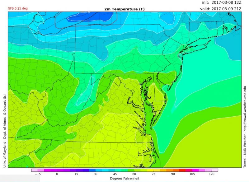
Temperatures reaching the mid 60s around 4pm. (Via: Trowal)
Cherry Blossom Bloom Watch:
With this crazy up and down Mid-Atlantic weather, the National Park Service has pushed back the Cherry Blossom peak bloom dates. With temperatures expected to be very cold this weekend, the peak bloom has officially been moved to March 19-22.

(Via: Pixabay)