After experiencing a roller coaster ride of temperatures, this week has consisted of many transitions for our area. The mercury in the thermometer fluctuated from the teen digits (just a few days ago!) to now potentially reaching the upper 60’s for tomorrow. By this weekend, we will prepare ride back down the roller coaster towards a potential ice storm that’s headed for the DC area. This is Maryland weather for you!
Through Tonight:
For the remainder of the evening and into tonight, overcast skies will help produce relatively mild temperatures. As a warm front passes through, there will be about a 60% chance of rain showers between 6 p.m. and 1 a.m. By midnight, patchy fog is expected to develop in low lying areas and possibly along the beltway. Low temperatures should dip down into the mid-40s for most of the area along with light to moderate winds out of the south.
Tomorrow (Thursday):
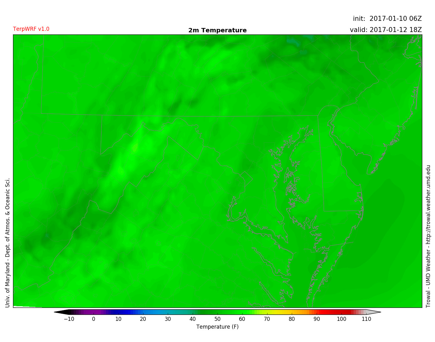
Constant prevailing winds from the south, combined with a warm front sweeping through Maryland, will boost temperatures into the mid to upper 60s in the DMV. Although clouds will stick around, there may be a few peaks of generous sunshine throughout the day.

TerpWRF model showing 60s across our region for Thursday afternoon. (Via UMD Trowal)
A look elsewhere:
While we have the chance to reach the upper 60s, California has been getting pummeled with up to a dozen feet of snow (or inches of rain depending on the elevation). This has been much needed precipitation for them, as they have been enduring a severe drought. While lower elevations have been experiencing mudslides, the snow in higher elevations has piled up so much that some ski resorts have had to close down…too much of a good thing? Here are some snowfall totals below:
#CAStorm brought plenty of powder for snow lovers! How about these 7 day Sierra #snow totals? ❄️ 6-12 FEET! ❄️ pic.twitter.com/AZpNQddNGf
— NWS Sacramento (@NWSSacramento) January 11, 2017
(Feature photo courtesy of: Pixabay)
