
Tuesday was pleasantly seasonable and cool with temperatures topping just one degree below the average for this time of year. An approaching cold front coming from the west combined with a low pressure system situated to our south will present a chance for light precipitation tonight. By Wednesday, slightly cooler and windy air transitions into the forecast area.
Through Tonight
Overcast skies will possibly accommodate a period of light rain/snow showers tonight. Overnight temperatures will hit the freezing mark south and east of the District. Behind the incoming mass of cold air, below freezing temperatures will occur north and west of town and west of the Potomac River.
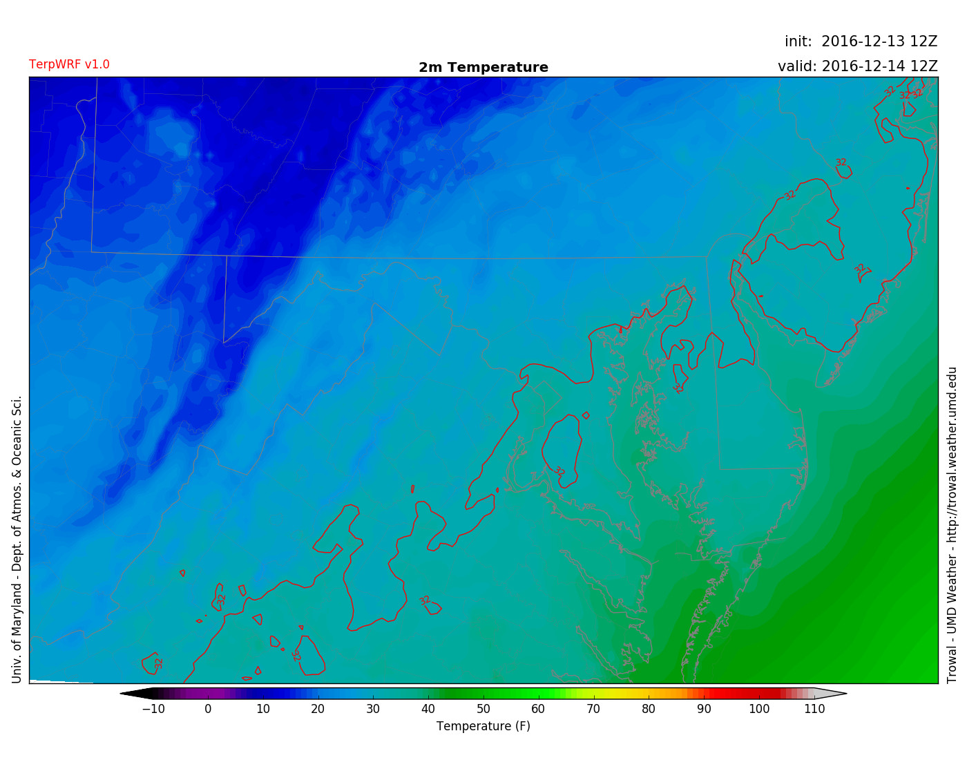
TERPWRF displaying regions of colder air north of the freezing line and milder low temperatures south on Wednesday 7 am. (via UMD TROWAL)
Tomorrow (Wednesday):
Wednesday will be the last day in the 40’s before temperatures rapidly dwindle into the mid to upper 20’s for a couple of days…ushering in bitterly cold February-like air. High temperatures climb to the mid 40’s with lows below 25 degrees. Seasonably cool (slightly cooler than today) and windy. 8 to 10 mph winds coming out of the North will accompany gusts of up to 20 mph before noon.