
After a warm October and a warm start to November, colder weather is finally making it’s way back into the region this weekend. A frost advisory has been issued by the National Weather Service for the area Friday Night and a Freeze Watch has been issued for Saturday Night as temperatures are expected to reach the freezing mark for the first time this year. Besides the cold, the weekend looks tranquil with sunny skies dominating both Saturday and Sunday.
Through Tonight: Grab that heavy coat! Blustery conditions along with low temperatures will make for a chilly autumn evening. Skies will be mostly clear with north winds around 10-15 mph, gusting as high as 30 mph. Temperatures will dip into the mid 30s near the city and low 30s towards the north and west suburbs.
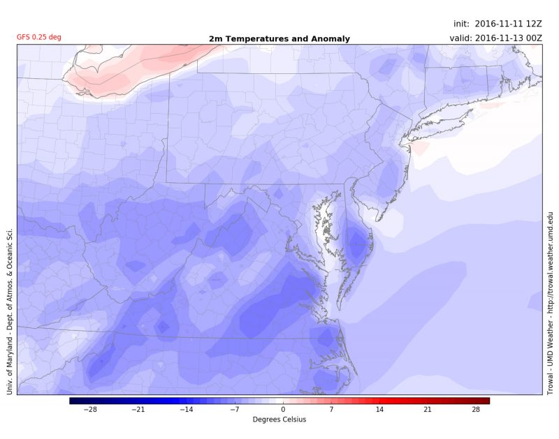
GFS 2 meter temperature anomaly for Saturday evening
Saturday: A snap back to reality as temperatures make it finally feel much more like November. Temps will start in the mid 30s with some frosty landscapes. Winds will be lighter than Friday and around 5-10 mph out of the northwest. High pressure will allow skies to be dominated by sunshine. High temperatures will reach the low 50s by the afternoon. Saturday night will be cold with temps falling to around freezing.
Sunday: Warmer than Saturday after a cold night. Temperatures will rise and reach the low 60s with a southwest breeze at 5-10 mph. Skies will again be clear and sunny allowing for a gorgeous day. Sunday night will be another clear and cold one.