Today:
Mostly sunny skies should prevail today as high pressure temporarily dominates the region, a change from the recent dreary and cloudy conditions we’ve experienced the past few days. Therefore, conditions look to be mostly favorable for outdoor plans and activities! High temperatures will be in the 80s and dewpoints will be in the 60s, so the humidity will be high. There is a chance for an afternoon pop-up shower or thunderstorm, but for the majority of the region, you can expect temporarily-improved weather conditions, in terms of precipitation.

National frontal and precipitation map, showing the Mid-Atlantic stuck in between two systems, with mostly clear conditions with the smaller chance of seeing a pop-up shower or thunderstorm (Image via NWS Weather Prediction Center).
Tonight:
Low temperatures tonight will be on the milder side with lows in the 70s along the I-95 corridor. Winds will be calm at about 5-10 mph.
Tomorrow (Monday):
Conditions will become more active tomorrow as the next weather system moves in from the west, bringing the risk of severe weather and potential flooding problems. Afternoon highs will once again peak in the 80s, some areas possibly hitting the 90 degree mark. Dewpoints will be a bit higher in the 70s, so it’ll feel a little bit muggier outside. Thermodynamic aspects will generally be favorable for potentially strong-severe storms in the afternoon and evening hours, with strong winds, hail, and flooding downpours the main risk. The Storm Prediction Center has much of Maryland in a Slight Risk for severe thunderstorms (with a better chance currently focused to our south and west). With respect to the potential flooding issues, the highly moist atmosphere in combination with these storms may produce localized flash flooding, especially in urban and poor-drainage areas. If you’re looking to be outdoors, definitely take advantage of today’s (Sunday’s) weather.

Image showing the Storm Prediction Center’s severe weather risk map for Monday. Much of the state currently highlighted in a marginal risk for severe weather. (Image via NWS Storm Prediction Center).

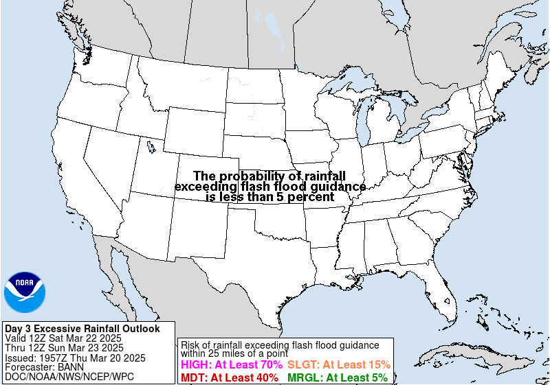
Image showing the Weather Prediction Center’s excessive rainfall map for Monday. The eastern 2/3rds of the state currently highlighted in a slight risk for excessive rainfall. (Image via NWS Weather Prediction Center).
Tomorrow Night (Sunday Night):
Because the cold front associated with the above system is not expected to pass through the region until Tuesday, another steamy and muggy night looks to be in store for the region. Low temperatures will drop into the 60s and 70s. There will be a lingering chance for a shower or thunderstorm.
A Look Ahead:
Unsettled weather will persist through midweek, so prepare to bring some rain gear wherever you go outside, in the event you succumb to additional bouts of rain and storms. Conditions, hopefully, will somewhat improve once again towards the latter part of the week.
Featured image via Pixabay.com
