Today:
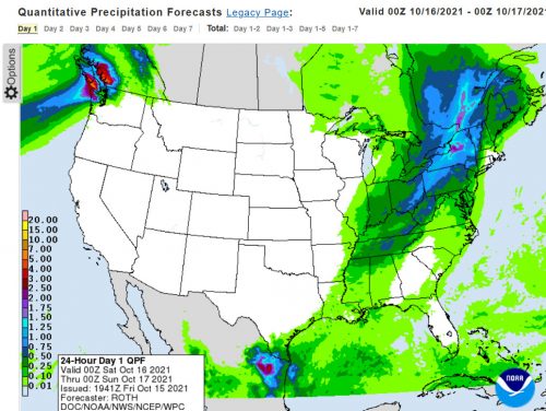
The end of the heat is here! Today there is a 90% chance of precipitation, with showers possible early, turning into thunderstorms in the afternoon. Temperatures will reach a high of 79 degrees in the afternoon. South winds in the morning that will become west in the afternoon, staying between 9-18 mph. Wind gusts could potentially reach 31 mph during the day.
Tonight:
Tonight will see a low of about 49 degrees. The chance of precipitation will fall to 20%, and the cloudy weather will start to clear. The wind will be northwest 9-11 mph and wind gusts have the potential to reach 20 mph. This will truly be the start of the colder weather making its way into the area.
Tomorrow(Sunday):
Sunday will be a much colder day than any in the previous week, with a high of only 64 degrees. However, It will be mostly sunny with Northwest wind 10-15 mph. There will also be no rain on Sunday.
A Look Ahead:
The upcoming week is going to be much cooler than it the preceding week, with highs in the mid 60s to low 70s. It also looks like there will be little to no precipitation. Hopefully everyone brought their cold weather clothes!