
Today:
Afternoon highs today will once again be about 10 degrees below average, only topping out in the mid 40s. Luckily, winds will be lighter today, out of the northwest at a light 5 to 10 mph. Ample sunshine will also help offset the chill.
Tonight:
Temperatures will drop to January normals as lows bottom out in the frigid mid 20s. Mostly clear skies and light winds can be expected.
Tomorrow (Monday):
The return to classes Monday also comes with the start of a warming trend. High temperatures will climb into the low 50s under mostly sunny skies and winds will only be around 5 mph out of the northwest.
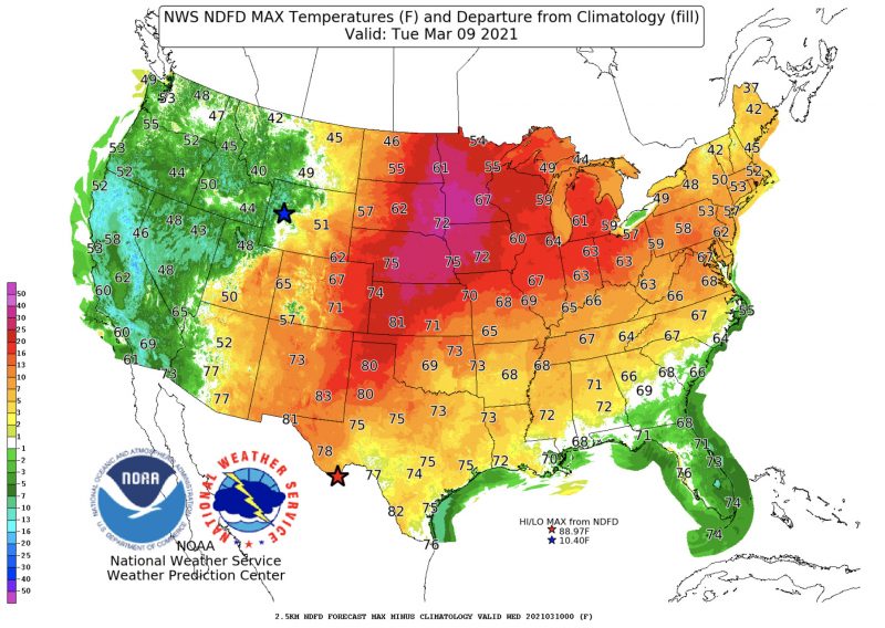
Temperatures Tuesday will top out in the mid to upper 60s, about 10 degrees above average (image courtesy of wpc.ncep.noaa.gov).
A Look Ahead:
January-like cold today will be quickly replaced by Spring-like warmth by Tuesday. High temperatures will be 10 to 15 degrees above average Tuesday through Friday as highs reach the warm upper 60s and low 70s. Enjoy the taste of Spring on the way and get outdoors!
Featured image via pixabay.com.