
Today:
If you were up relatively early today, you may have seen some fog outside. However, for many of us, there probably isn’t a morning commute to be affected by it! Low-level onshore and southerly winds from overnight are to thank for this fog, with low clouds and drizzles in some areas as well. After the morning, skies will clear, and it will eventually warm up to a comfortable 77 degrees F. This high temperature is well above normal high temperatures for our area this time of year.
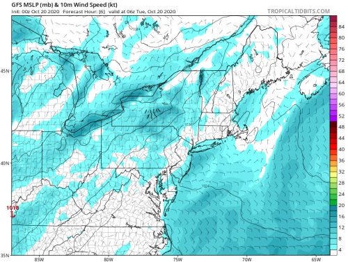
Light, low-level onshore winds over the course of the night provide moisture for fog, low clouds, and possibly some drizzles. GFS MSLP and 10 meter wind speed. Image courtesy of Tropical Tidbits.
Tonight:
Continuing the trend of higher than normal temperatures from earlier today, expect nighttime lows to be around 60 degrees F (about 11 above normal lows), with mostly cloudy skies trapping some of the heat from the sunny day. The wind tonight will not be carrying as much moisture with it, and high pressure is building in our area, so it is less likely to see fog and precipitation overnight moving into tomorrow morning.
Tomorrow (Wednesday):
With high pressure over our area and winds continuing to come from the south around 3 to 8 mph, tomorrow will be warm and sunny. Again, the high tomorrow will be greater than the normal highs for this time of year at around 78 degrees F. Enjoy the beautiful, warm weather, because hopefully the coldest days of fall are not far off!
A Look Ahead:
No precipitation is expected for the rest of the work week, and calm, warm, sunny weather will be the reigning daytime conditions through at least Friday. Have a good last look at people dressed in shorts and t-shirts for the next several months to come (if you happen to leave your house)!
Featured image courtesy of Clairy Reiher.