With a bright and sunny start to the week, the upcoming weather is exciting all University of Maryland students as midterms sneak closer. Today, the high was around 45 degrees and moderate winds of around 15 mph from the northwest persisted. Skies were covered in beautifully shaped clouds—a perfect day to look at the sky during class and day dream of a time without exams.
Tonight (Monday):
Temperatures will drop drastically tonight and will reach a low of the mid-20s early tomorrow morning. Winds are expected to lessen throughout the evening, but are still coming from the North West direction and bringing a slight wind chill. Make sure to keep your coat close by if venturing outside tonight!
Tomorrow (Tuesday):
Tomorrow’s weather will be very similar to day, with a high of low-40s expected and sunny skies with afternoon clouds. Lesser winds, with speeds around 5 mph, are anticipated from the northwest throughout the day. It will be a great day to go outside and enjoy some pre-spring weather!
Tomorrow Night:
Temperatures drop to the low-30s and high-20s throughout the night. Winds shift directions late at night to the east direction, indicative of the storm moving our way. If traveling overnight, be sure to pack snow and sleet preparations as precipitation is expected around 6 a.m. Wednesday morning!
A Look Ahead:
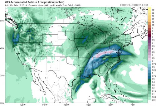
Precipitation is expected to start around 6 a.m. on Wednesday morning and continue into Thursday morning. Earlier in the day, a snow/sleet mixture is anticipated, but will completely transition into rain by the late afternoon. The weekend looks cold and possibly rainy, so get outside tomorrow while the weather is still nice!
Featured Image via Pixabay.com

