
If you walked around campus today, you may have spotted some happy students in shorts and t-shirts enjoying the last bit of warm weather before the colder fall temperatures come back. The sun was peeking through the clouds, and the temperatures topped off at 74 degrees. In addition, there was light wind between 5-10 mph. It was the perfect weather for those participating in the #JusticeforJordan rally where students focused on honoring Jordan McNair’s Legacy.
Tonight:
Into tonight the low pressure system in our area will head out, allowing a cold front to pass through. With it, we can expect small bursts of precipitation and the continuation of mild temperatures in the mid 60’s.
Tomorrow (Friday):
As for Friday, another low pressure system is set to arrive. The low pressure system will combine with the jet stream to create powerful lifting resulting in showers throughout much of the day. You can expect the rain to be fairly heavy, but flooding is not expected. Additionally, the temperatures will continue to be mild with a high in the upper 60’s.
Tomorrow Night:
By Friday night the low pressure system will be making its way out, but light rain is still possible. Temperatures will finally dip into seasonable averages overnight with the low temperature being quite chilly around the low 50’s.
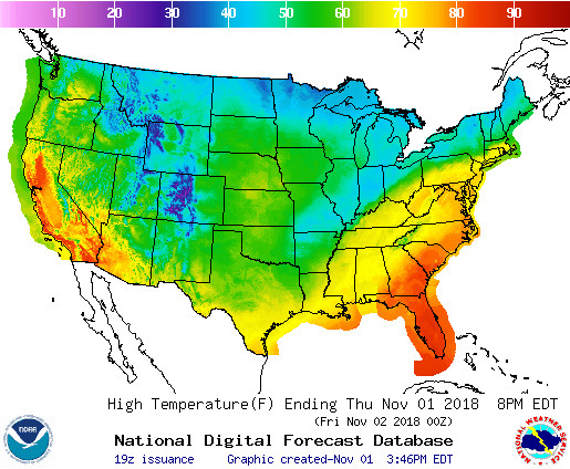
Temperature Map Courtesy of the National Weather Service
A Look Ahead:
Into the weekend the temperatures will return to their colder averages. Saturday and Sunday should both peak in the mid 50’s with the possibility of dropping into the high 30’s Saturday night. As for game day, the Maryland football team faces off against Michigan State at home. Temperatures should be in the mid 50’s at game time with mild winds in the teens.
Featured image via the author