
Today we (gladly) saw the return to average temperatures for fall this time of year, with a high of 63 degrees and an anticipated low of 58 degrees. Temperatures today were relatively steady with only a 5 degree difference between the high and low. Winds were also fairly light with an outlying gust of 18 mph winds between 2 and 3. With a region of high pressure moving to the south, skies were relatively clear apart from some upper level clouds hinting at the weather to come
Tomorrow (Saturday):
While conditions were average today, don’t expect the warming trend to continue. Winds are expected to range between 6 and 10 miles per hour during the day before soaring once more to between 9 and 14 miles per hour, with gusts up to 22 miles per hour. Like Wednesday, the causative factor for these winds gusts will be a cold front moving through, which will once again bring another polar continental air mass into the region, bringing temperatures down and also introducing a chance for rain Saturday morning and afternoon.
Expect a high of 64 degrees tomorrow and a low of 44 degrees. Our best chance for rain will be about 60% when the cold front passes through, and any showers that do develop should be quick in nature as the front passes through. This would also represent the best time for the region to see gusty winds, at least up until a second cold front plows through Sunday morning. Should any rain develop, anticipate rainfall totals between 0 and 0.15 inches.
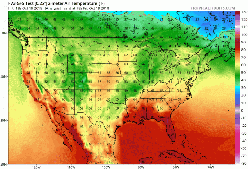
Two cold fronts are progged to move through the region over the next two days,putting an end to our temporary return to more seasonal temperatures. (Source: Tropical Tidbits)
The Week Ahead:
Our forecast for the week ahead looks to indicate that despite our 2nd plunge into below normal temperatures this month, conditions will improve relatively speaking. Medium range forecasts from the GFS model show overnight temperatures in the mid to upper 40s with highs in the 50s for the next week or so. While still cold for this time of year, it is better than the frosty conditions some parts of the region bore witness to this morning.
The latest 7 day outlook from the Climate Prediction Center also seems to align with this expectation for cooler temperatures, with the CPC assigning a 60-70% chance that temperatures will be below the climatological average. There also may exist a chance for rain on Wednesday morning given that a cold front is forecast to move through the region that morning, although as with any forecast more than 3 days out, the exact timing and strength of such an event will not fully come into view into a few days before hand.

Latest 6-10 Day Temperature Probability Outlook courtesy of the Climate Prediction Center.
Featured Image Courtesy of Pexels.com