
The sun was in full swing today as the clouds were hiding for most of the day. Despite the sun, a high pressure system coming down from Canada caused a cold day with temperatures only peaking in the 50s. Additionally, a cool, fall wind just below 10 mph added to the conditions making the day feel even colder.
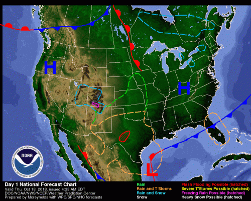
Forecast map courtesy of NOAA
Tonight:
Through tonight, the high pressure system should create some radiational cooling where the surface will lose a lot of its heat. The cooling should combine with the cold conditions creating frost throughout much of the area, so make sure to bring in your plants! We can expect temperatures dipping down into the 30s.
Tomorrow (Friday):
Tomorrow we should find the high pressure system beginning to exit creating more seasonal temperatures in the afternoon peaking in the mid 60s. We can expect the sunshine to preside and winds to die down creating a beautiful fall day.
Tomorrow Night:
As the day closes Friday, some southerly flow is expected to bring precipitation in the early hours of darkness. Furthermore, the rain should be light due to weak forcing in the lower parts of the atmosphere. A coat or rain jacket is strongly recommended for any late-night activity. Besides the rain, the winds should be mild.
A Look Ahead:
Into the weekend, a strong cold front is predicted to roll through Saturday afternoon. With it, we should expect a few showers and temperatures in the low 60s. Additionally the fronts cold temperatures will carry-over into Sunday creating temperatures well below average with an expected high in the mid 50s.
Outside College Park, the Terps football team faces off against the 19th ranked Iowa Hawkeyes. Conditions at the University of Iowa will be cold in the mid to low 50s and extremely windy with the possibility of sustained winds around 35 mph (perfect for Maryland’s run heavy offensive).
Featured image via the author