
The sunrise around 7 am this morning saw some cool foggy fall air. With a high of 74, today was a cool, cloudy day to start off the weekend! We have high pressure system moving south-east toward the Carolinas while our surrounding neighbors may have been experiencing rain and thunderstorms.
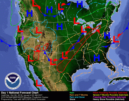
National Weather Forecast for Today Courtesy of NOAA Weather Prediction Center
What to Expect Tonight
With a sunset around 7 pm, tonight, temperatures may dip into the mid 60s, which may produce fog. With winds from 5 to 7 mph it’s sure to be a cool breezy night. Tonight, the moon will be a waning crescent with 6% visibility.
What to Expect Sunday
Sunday morning temperatures will be in the mid 60s, which may produce fog in the early morning. This will burn off by the afternoon with highs in low 80s and wind speeds around 5 mph. With partly cloudy skies, the sun will be sure to greet us with its warmth.
What to Expect Sunday Night
Expect lows in the 60s Sunday night with wind speeds up to 5 mph. It will be a waning crescent moon with 4% visibility accompanied by partly cloudy skies.
Look Ahead!
Monday there is an expected high in the 80s but chances of thunderstorms through the night. You can expect a quick break from the rain from Tuesday up into Wednesday when chances of precipitation begin to increase.
Featured Image via Pixabay