
Today saw the return of rain and cloudy skies once again to College Park, bringing a temporary end to our much needed hiatus from rain. With a high of 72 degrees, the temperature was enjoyable today even if the cloudy skies and at times drizzling conditions lent a dreary feel to the day. Winds were also light, reaching up to about 7 mph at times.
Through Tonight:
Expect conditions to devolve overall for the night ahead, with temperatures continuing to lower into the lower 60s and potentially the upper 50s. Cloud coverage will likely increase into the night, which will help to keep temperatures from dropping too low by trapping in heat closer to the surface. Winds are expected to remain in the same range as during the day, ranging between 3 and 6 miles per hour. Our chances for rain should also decrease as well, so the question of whether to bring a jacket or not will be much less frustrating than it was most of today.
Tomorrow (Saturday):
Unfortunately, it appears tomorrow will mark the beginning of a cloudy weekend for the region. Conditions are expected to remain overcast through most of the day tomorrow, in addition to a high chance for foggy conditions into the early afternoon. With dew points forecast to remain in tandem with surface temperatures, its likely we will see the national weather service issuing a dense fog advisory, so be sure to take the fog into account if you plan on being on the road tomorrow morning. After about 10 a.m. we can expect the fog to lift but overcast conditions will still remain. A high of 75 is expected tomorrow with a low of 63 in the morning. Winds should also remain light and similar to today.
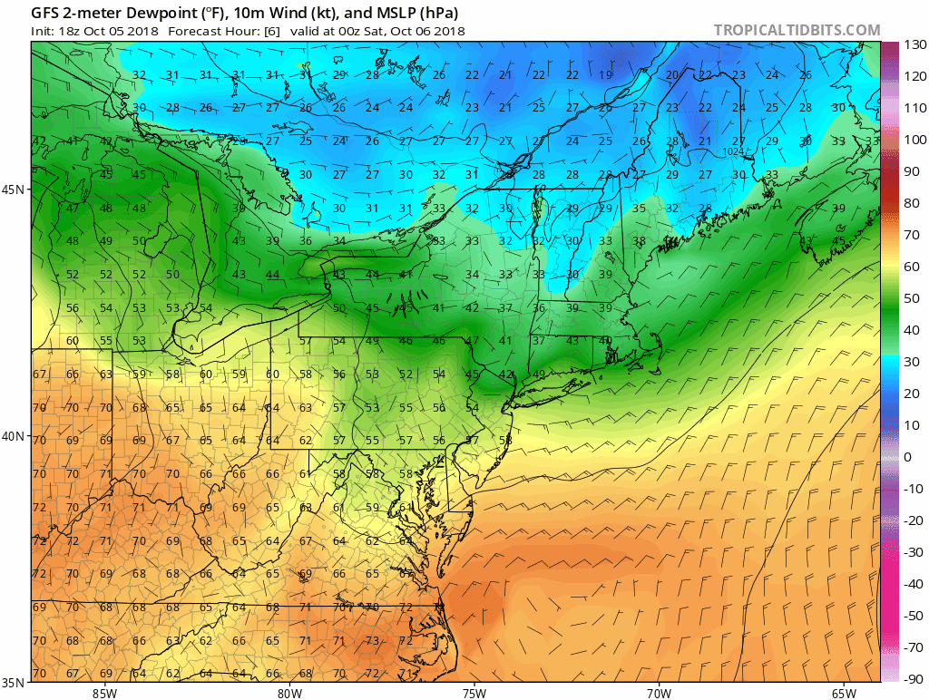
Latest GFS Model run showing low dewpoint temperatures early saturday into the afternoon. (via Tropical Tidbits)
The Week Ahead:
Going into Sunday and the beginning of the week, we can expect overcast conditions to persist at least through Columbus Day when we should begin to see the return of partly cloudy if not sunny skies. With the passage of a warm front through the region on Saturday, temperatures are likely to reverse the decrease previously seen with the arrival of the cold front on Thursday. Expect to find high’s in the lower 80s before the potential arrival of yet another cold front sometime late next week although an exact date remains uncertain at this time. Should it arrive however, we would also have a quick chance for rain and thunderstorms with its passage.
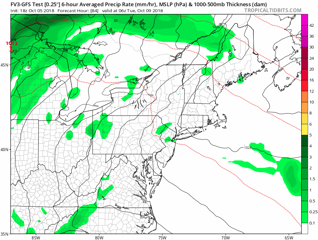
Latest medium range GFS forecast showing the passage of a cold front early Thursday morning. via ( Tropical Tidbits)