
Terps were spotted in shorts and t-shirts today as the temperatures peaked in the mid 80’s. While some were sweating their way to class, many were relaxing on the lawn getting their last bit of tan in before the fall temperatures roll through. Additionally, the winds were mild and the clouds were sparse.
Tonight:
Into tonight it will cool down slightly, but it will still remain unseasonably warm in the mid 70’s. However, a cold front is pushing east providing the possibilities for some thunderstorms and colder temperatures tomorrow. In addition, the cold front should bring a light wind and enough moisture for some spooky, October fog!
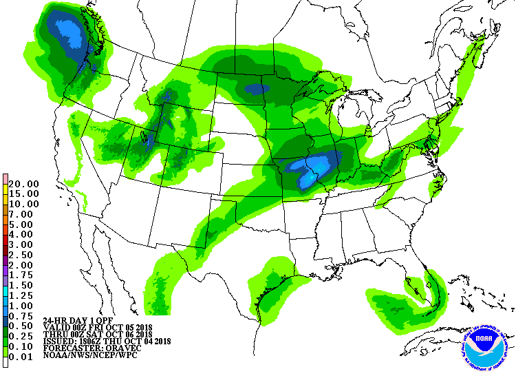
Precipitation Map for October 4th courtesy of the National Weather Service.
Tomorrow (Friday):
The after effect of the cold front should ensure some seasonal temperatures in the low 70’s and high 60’s. We can also expect some scattered clouds in the early afternoon that will grow in number providing cloudy skies at dusk. Finally, the wind should remain light without reaching double digit speeds.
Tomorrow Night:
Friday night will remain cloudy creating conditions for a moderate night in the mid 60’s and no rain. Perfect for Route One activities! Additionally, the winds should be negligible, and the temperature should not dip any lower than 60.
A Look Ahead:
Expect a relatively dry weekend with the possibilities of showers in the early Saturday hours. Saturday should remain moderate in the mid to high 60’s; whereas, Sunday some high temperatures should reach into the low 80’s. Elsewhere, the Terps Football program travels up to the “Big House” in Ann Arbor to face Michigan in a game that may feature some rain and temperatures in the 70’s.
Featured image via the author.