
Another hot one in College Park today as students can be seen sweating their way to class. The unseasonably warm temperatures in the upper 90’s is thanks to a large upper ridge over much of the East Coast. Luckily for students, there was a bit of a breeze reaching up into the 10mph range. In addition to the heat, an “enhanced threat for the spread of fires” warning has been released today in large part due to the low humidity between 25-30 percent.
Through Tonight:
We should see some scattered clouds late tonight providing a little blanket for another hot night. Temperatures should fall into the mid 60’s, and I would not expect to see temperatures reach the 50’s. Even with a light wind, it should be comfortable enough to be outside in shorts and a t-shirt.
Tomorrow:
Temperatures won’t be as hot tomorrow, but they will still keep with the trend of the July-style heat in the low 90’s/high 80’s. The wind should be similar to today in the 10mph range. As the ridge begins to pass, we should see some partly cloudy skies, allowing for little breaks from the heat.
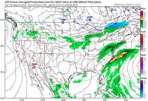
Forecast Model for Sunday Courtesy of Tropical Tidbits.
Looking Ahead:
Into the weekend the heat will finally begin to break as the ridge should finally have passed us. The dropping temperatures could be coupled with a lengthy rainstorm starting Saturday afternoon and finishing Sunday morning.
Elsewhere in the United States, severe thunderstorm threats have been issued in much of the Midwest since Wednesday, bringing hail and fast winds. Nebraska, Kansas, and Oklahoma also all reported at least one tornado! The EF1 tornado that touched down in Norman, Oklahoma was its first for 2018.
Featured image via the Author.