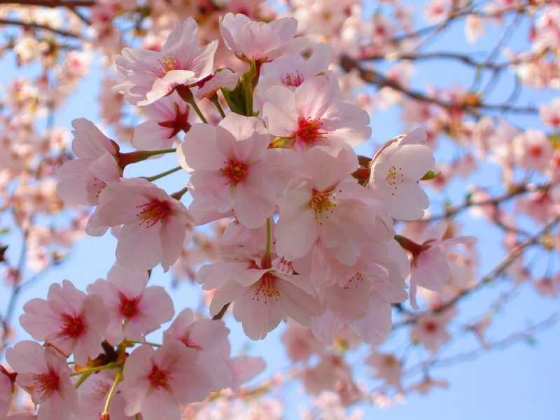
It is finally peak cherry blossom weekend! Sunday is the better day to view them (photo courtesy of https://pixabay.com/en/tree-flower-branch-nature-cherry-3288920/)
In stark contrast to yesterday’s sweet springtime mid-60 highs, today rolled in gray and about 20-25 degrees below normal temperatures. The one benefit of today’s weather was mostly missing the winter storm that is tracking to the south of us, however, we may still have a slight chance of seeing a light snow later into tonight. The chance for precipitation is mostly before 8 p.m. and with daytime highs in the 40s, the chance for accumulation of any wintry mix seems slim.
Through Tonight:

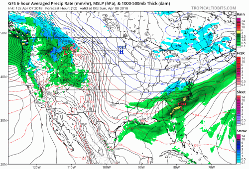
The GFS model portends that our total wintry accumulation will be very low in the .1-.5 range, if we even get any accumulated precipitation tonight.
Clouds during the early evening could give us a chance of rain or snow depending on the low hovering around 32 degrees around the time of expected precipitation. A northerly wind around 5-9 mph could further our chance of colder temperatures. However, cloud coverage will gradually clear as we head into the night and into tomorrow. Coupled with the warmer temperatures of today, any wintry precipitation will fall well below half an inch.

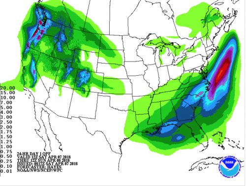
The QPF further illustrates how precipitation may track southward of us as cloud coverage throughout the night decreases.
Tomorrow (Sunday):
Tomorrow should be less overcast and gloomy, as we see skies clear into the afternoon. We will even see temperatures climb into the low 50s as a classic example of a high-pressure sunny day ensues. Another northerly wind around 9-13 mph will prevent us from ending the weekend on the pleasant note we started with on Friday, however. Still, checking out the cherry blossoms during their peak bloom on Sunday is definitely more advisable than during today.
