
We’re almost a week into spring, but you wouldn’t have guessed that from our recent weather. This chilly start to spring hasn’t been great for the cherry blossoms and other flowering plants. It’s going to be another few days before we will see that begin to change. Typically, we should see high temperatures in the low 60s by this point in March. But we’re still waiting on our first 60°F day of the month. This morning started out chilly with temperatures in the high 20s and low 30s around College Park. Today’s highs flirted with the upper 40’s but capped out at 45°F. You may have needed a warm coat when you headed outside, but the copious amounts of sunshine made sunglasses a necessity.
Through Tonight:
The high pressure system that kept our skies clear today will shift eastward this evening. This will bring increasing clouds to the area, but we shall remain dry through tonight. Tonight’s low temperatures will settle into the low 30s in the suburbs. Some spots may dip into the 20s, which is about 10-15°F below average for this time of year. Also, the light winds that we saw today will calm overnight.

Model output temperatures for 1 am Tuesday (Via UMD Trowal).
Tomorrow (Tuesday):
Clouds will build in through the day on Tuesday. And tomorrow’s temperatures should stay well below average for late March. Highs will linger in the upper 40s for most of the area. Some spots may be lucky enough to reach 50°F. Light and variable winds will move in as our next weather system approaches. We may see some showers late tomorrow evening. But most of the rain associated with that system should hold off until Wednesday. As we look ahead, this system should bring a change in pattern that will usher in some more mild temperatures for the Easter weekend.
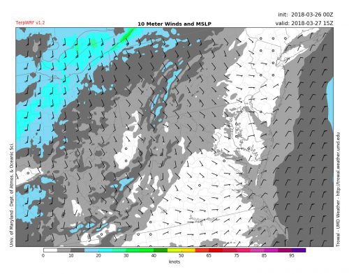
Model output forecasting 10m winds for 11 AM Tuesday (Via UMD Trowal).