
“Bet your bottom dollar that tomorroooooooow, there’ll be sun!” Annie was spot on for the forecast tomorrow. After a gloomy day, we will see skies clearing up as high pressure arrives following the front that passed through earlier today.
Through Tonight:
The rain will clear out over the next few hours leading into a windy, cold night. Temperatures will dip down into the lower 30s, with the low temperature just before sunrise in the upper 20s. Winds will sweep over the College Park area at 10-20 mph with some stronger gusts possible, making it feel significantly colder than the actual temperature throughout the night, so make sure to dress warm if you’re venturing outside.
Tomorrow (Thursday):
High pressure hangs around, leading to a frigid, but sunny day. The cloud cover from the frontal system will clear out in the early morning giving way to clear skies throughout the day. Temperatures will be slightly colder than today with a high in the mid 30s, but winds will die off slightly, leaving only a 5-1o mph breeze. The weather will remain relatively mild throughout the day with temperatures dropping overnight in the lower 20s.
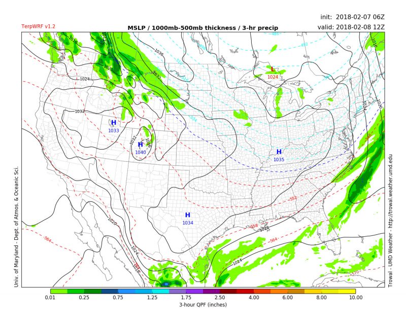
TerpWRF model output shows the frontal system moving off the coast followed by high pressure on Thursday (Source: UMD Trowal).
A Look Ahead:
After cold winter temperatures, there is a slight warm up expected towards the end of the week. Friday and Saturday we will see high temperatures in the upper 40s, and we will see even warmer temperatures on Sunday. Even though temperatures warm up, another frontal system will be arriving this weekend that will bring rainy weather back to our area. Saturday and Sunday will be quite damp, so keep this is mind when planning your weekend activities.
Featured image from Pixabay.com