Today was a cool fall day across the D.C. metro area as more seasonable temperatures have finally set in place. Our thick blanket of clouds in the morning yielded to a sunnier half our of rather brisk day. I hope you brought a jacket out with you today!
Tonight:
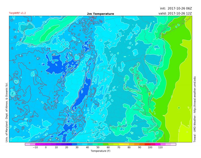
Clear skies tonight and a lack of strong winds will set the stage for widespread frost potential throughout the area, prompting the National Weather Service to issue a frost advisory. A wide swath of Maryland is included in this advisory area, from as far north and east as Cecil County, extending down well into central Virginia. Temps will plummet well into the mid 30s over many spots. If you have plants and vegetation outside, plan accordingly!

TerpWRF model shows cold temperatures tomorrow morning at 8 a.m. (via Trowal)
Tomorrow (Friday):
Early morning frost will coat grass and other surfaces, but we will rebound quickly as clear, blue skies and winds out of the south will shoot us into the upper 60s tomorrow. Tomorrow night will be warmer than tonight thanks to southerly winds. Mostly clear skies with lows reaching the upper 40s will be the story as frost will not be an issue tomorrow night.
Looking Ahead:
The start of our homecoming weekend looks quite nice with even warmer temperatures, although increasing clouds will accompany us as we kickoff our football game against Indiana at 3:30 p.m. There is a cold front moving through late Saturday night and Sunday that will bring rain, heavy at times, to the area to break our dry spell. Stay tuned for updates about the homecoming game.
Feature photo courtesy of Pixabay.
