
After over three straight weeks without rain in D.C., Mother Nature brought some much needed moisture to the DMV. This rain came from what was left of Hurricane Nate, who made landfall in Louisiana and Mississippi on Saturday night. A few more showers may roll through this evening and set the stage for another warm and humid October day tomorrow.
Through Tonight
Isolated showers and maybe even a rumble of thunder will make for a soggy evening tonight. Low temperatures will only make it to the upper 60s under mostly cloudy skies. Winds will be out of the south at 5-10, becoming calm after midnight.
Tomorrow (Tuesday)
Patchy fog will start your day off around D.C. so make sure to give yourself a little extra time for the morning commute. Once it clears out, partly sunny skies will allow for temperatures to rise into the low 80s. High temperatures will be closer to the average for mid-June, not October 9th. Winds will be calm and won’t bring any relief to this heat.
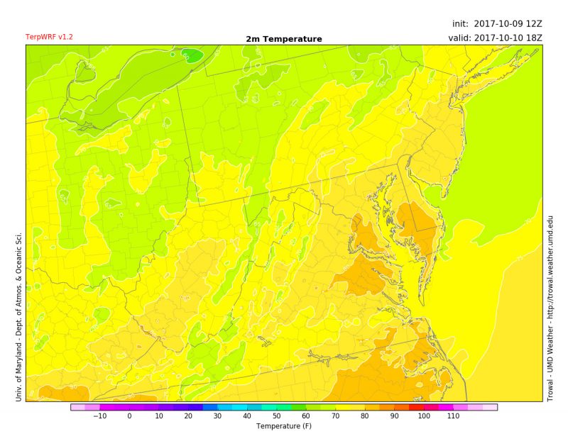
2 p.m. TerpWRF forecasted temperatures for Tuesday.
Where is fall??
As October has already entered its second week, temperatures continue to feel more like summer. At some point this will have to come to an end and winter will reveal itself, however it does appear this won’t happen over the next week or so. The Climate Prediction Center still has above average temperatures for the entire East Coast through at least October 22nd.

Featured image via Pixabay.