
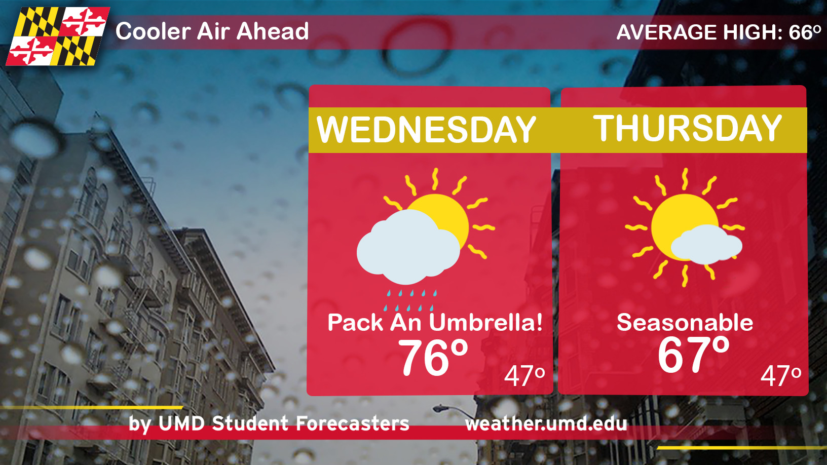
What a splendid day! Hopefully, you took advantage of today’s lavish sunshine and toasty mid-80 degree temperatures. Unseasonably warm temperatures managed to soar 15-20 degrees above normal. On Wednesday, prepare for a mild and wet start followed by cooler (but still above average) temperatures.
Through Tonight: This evening will be perfect to walk the dog or take a jog. An approaching cold front will increase cloud cover and chances for numerous rain showers after midnight. The threat will stick through the early morning commute hours. South-southwesterly winds will turn into a light breeze from the west, slowing down the flow of warm air into the area. Temperatures will fall through the upper 50’s in the suburbs and low 60’s near the District.
Wednesday: Grab a hoody or an umbrella. It will be a mild and wet start to the middle of the work week. Bus stop temperatures will hover around 60 along with scattered rain showers. After lunchtime, a few isolated thunderstorms may develop south of DC. Later, cloudy skies and showers will gradually clear out. Cooler air behind the cold front will limit high temperatures to the middle 70’s. Northwest winds 5-10 mph.
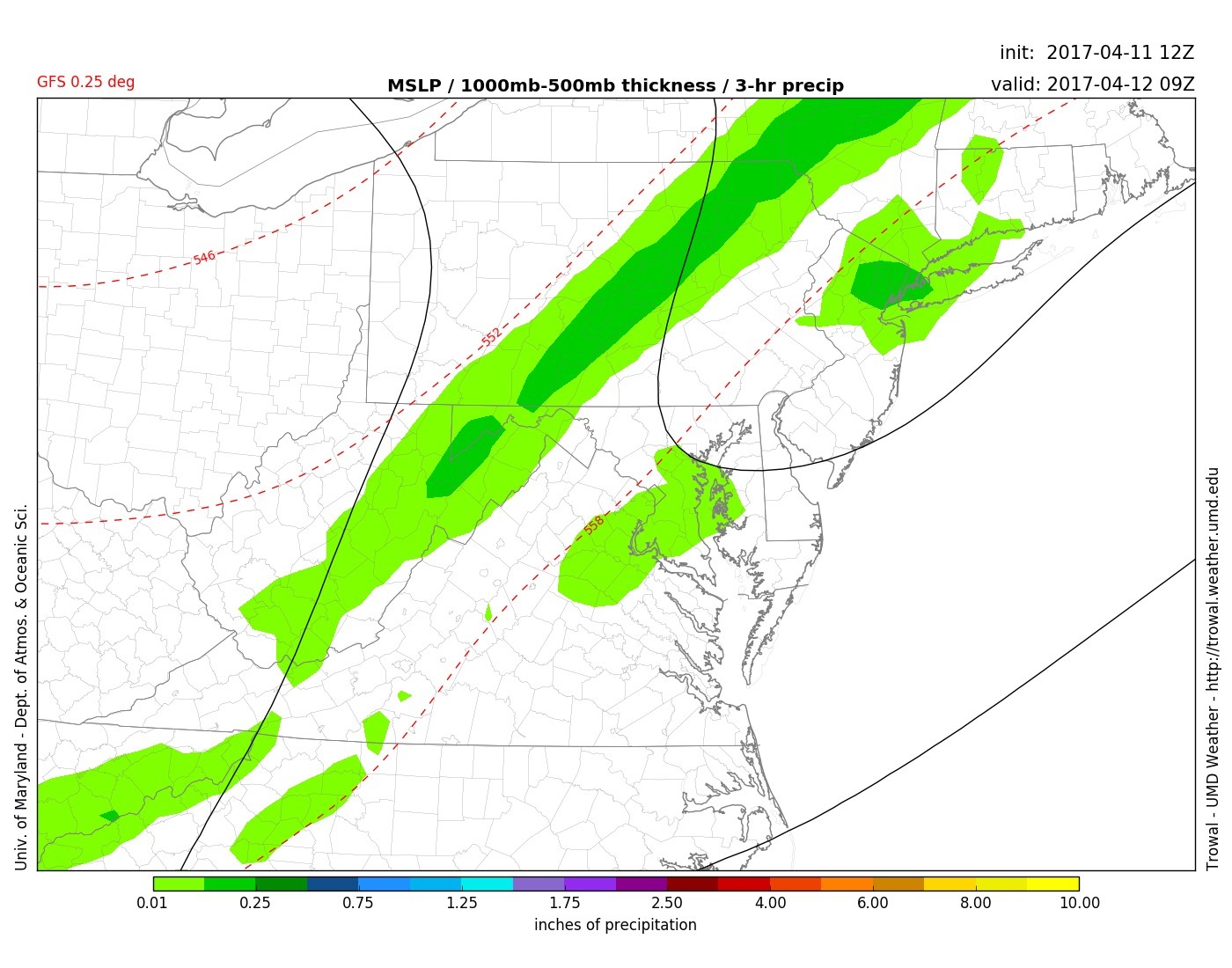
Early morning scattered rain showers will pass through before and during the Wednesday AM commute. Isolated thunderstorms may develop in the early afternoon for extreme Southern Maryland. (Courtesy: UMD TROWAL)