
What a way to start off the first day of Spring semester classes! Thanks to a lovely warm front, I’m sure Testudo ditched his costume to enjoy today’s plentiful sunshine and gorgeous weather. BWI and Washington/Reagan National Airports observed 60-degree high temperatures today. College Park recorded a high temperature of 59. Yes, temperatures were unseasonably warm. But, they didn’t peak anywhere close to the 75-degree record temperature set back in 1950.
Through Tonight: If you’re planning on hanging out this evening, then you are in for a warm treat. Light southerly winds (around 5-7 mph) will set low temperatures 20 degrees above the 25-degree average. This evening, warm air will stick around and remain in the low 50’s before gradually declining to the upper 40’s after midnight. Cloud cover will increase throughout the night and lock in the heat and moisture needed for overnight showers. The best chance for rain activity will be after 1 a.m.
Thursday: Heading out for your 8 a.m. classes? Well, you might want to pack an umbrella. By early Thursday morning, an approaching cold front will produce widespread showers and a light drizzle in some spots (see image below). Generous peaks of sunshine will allow morning temperatures to increase to the upper 50’s around 10 a.m. Then, temperatures will drop to the mid-40’s after lunchtime. Despite the warm temperatures, you should still dress for the 40’s. Increasing wind speeds out of the west will range between 10-20 mph with wind gusts up to 30 mph.
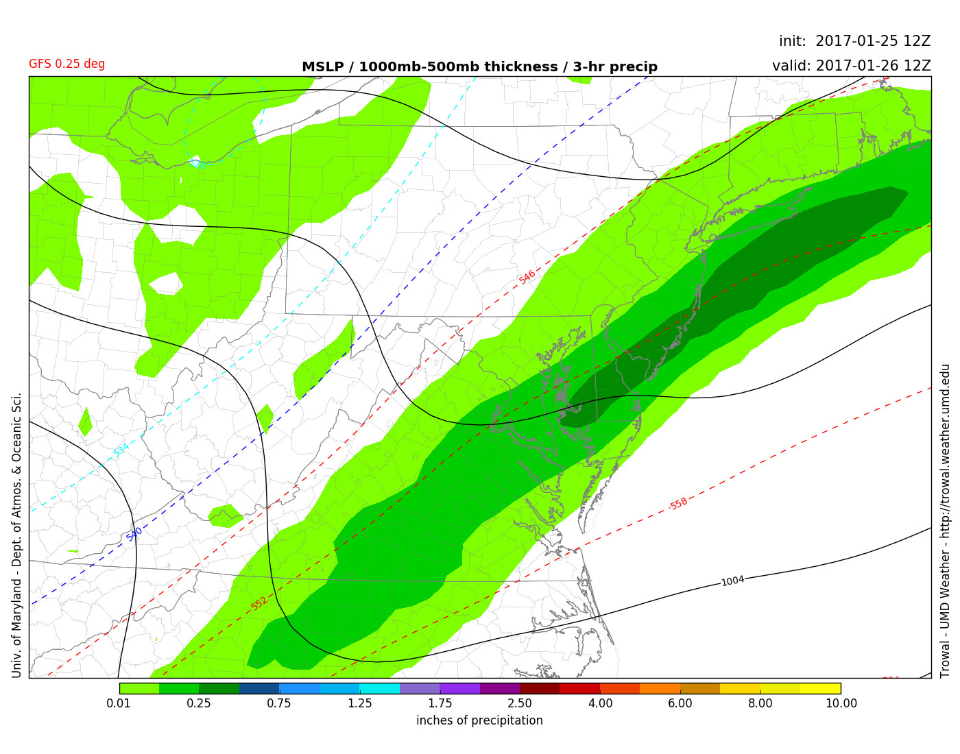
GFS 0.25 deg model displays rain showers around 7 a.m. Thursday morning (tomorrow) for the DMV (Via UMD TROWAL)