

Rainy weather in College Park throughout the day. (Credit: The Diamondback)
Upon experiencing the 2nd warmest year on record for 2016, 2017 has greeted us with a good deal of rain. This is nothing out of the ordinary for the DMV area (even in early January). As mundane as winter rain is for us winter lovers (myself included), we do in fact need the rain. Once the incoming arctic air mass swoops down into the area and brings in colder air, we’ll have two chances for snow towards the end of the week
Through Tonight:
By evening, majority of the rain showers should clear out (with a few lingering showers in some locations). Throughout the night, the moisture that fed the system will stick around and produce areas of fog along the I-95 corridor. Temperatures will remain mild…dropping in the low-40s with light winds out of the southwest.
Tomorrow (Wednesday):
By the time you wake up, early morning fog will stick around until the mid-morning hours. Afternoon temperatures tomorrow depend on what time the fog clears out tomorrow morning. The earlier the fog clears out, the more time the sun has to warm up the area. High temperatures are expected to range between 49-56 degrees. Meanwhile, westerly winds between 10-20 mph will persist with a few gusts (particularly in the afternoon). Stay tuned for the potential snow later this week!
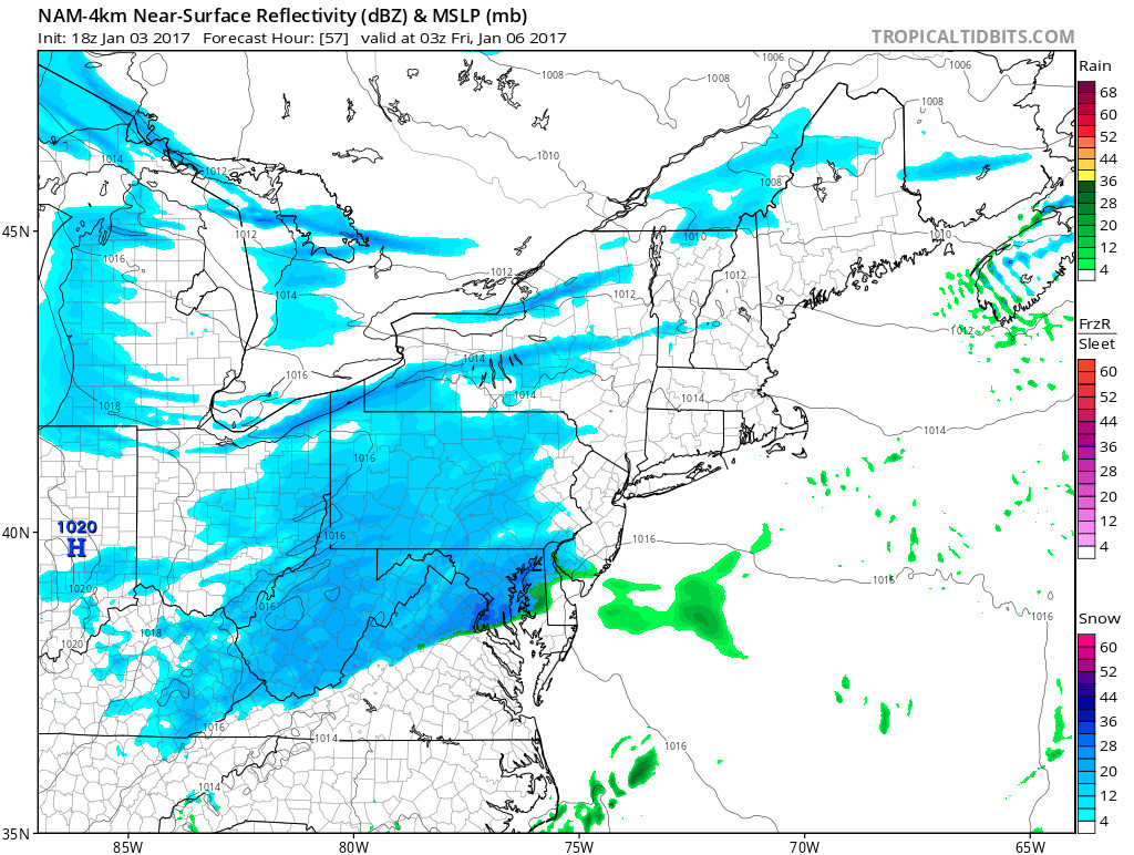
A chance for snow late Thursday night around 10 p.m. (Credit: Tropical Tidbits)