
Happy Holidays! Temperatures have steadily risen this week and the trend will continue through the weekend. The only negative is that we will have some showers and cloudy skies rolling across the region. However, rain amounts should stay light and shouldn’t cause any major traveling delays on this busy weekend.
Through Tonight:
Cloudy skies cover the region as a weather system approaches from the west. Some sprinkles may be noticeable before midnight, but the bulk of the precipitation will arrive after 1 am. Temperatures will dip into the upper 30s as mild southerly winds (around 5-10 mph) keep the evening comfortable.
Tomorrow (Saturday):
For the most part Christmas Eve will be damp and cloudy, but not a washout. Rain showers are likely during the morning with total amounts around a quarter-inch. By mid-afternoon most of the precipitation should clear out of the area and set the stage for a dry evening. Temperatures will reach up to around 50 as winds continue out of the south at 5-10 mph. The first night of Hanukkah will be dry as skies slowly clear. Temperatures will be a bit chilly with lows into the lower 30s and light winds out of the north around 5 mph.
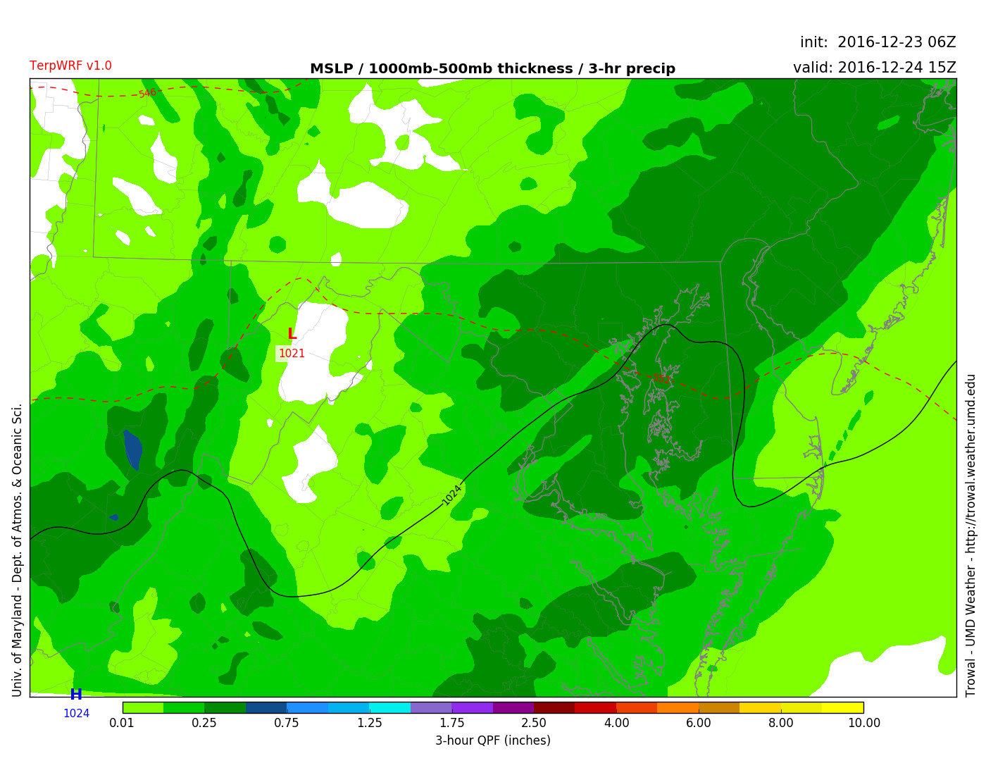
TerpWRF shows rain across the region on 10 am Christmas Eve (Via Trowal)
Sunday:
Christmas Day looks quiet as far as weather is concerned. Temperatures will be in the mid-40s and although the ground may not be white, the skies will be as clouds move in during the afternoon. Winds will be light at around 5-10 mph out of the north. By nighttime clouds will completely blanket the sky and keep temperatures in the upper 30s.