
Today’s blast of cold air has produced the coldest day we have seen yet this winter. Many areas in the northern half of the lower 48 are experiencing temperatures more than 20 degrees below average for this time of year. Our high temperature occurred at midnight, and it has been decreasing throughout the day. Thankfully, this gross weather will not persist past tomorrow.
Through Tonight: With mostly clear skies, we will continue to stay frigid with lows in the mid teens. The good news is that the winds will die down slightly, but we should still expect winds in the 10 – 20 mph range.
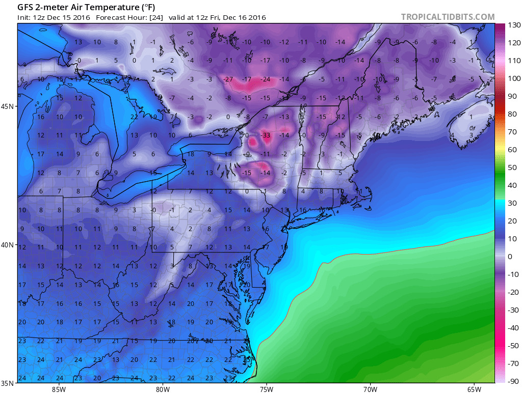
GFS model’s projected temperatures for Friday morning. (Credit: TropicalTidbits)
Tomorrow (Friday): We will struggle to reach the freezing mark tomorrow, with the highest of temperatures in our area reaching about 30 degrees. The sunshine will transition to a considerably thick cloud deck in the afternoon. Winds out of the northwest direction will shift to a southerly flow, setting the stage for potential winter weather projected for Saturday.