
Sunday
A strong cold front begins to move through the Mid-Atlantic this morning and into the afternoon. As the front approaches, widespread showers and scattered thunderstorms are expected. Some storms may produce isolated damaging wind gusts. Rainfall amounts range from half an inch to inch and a quarter, therefore isolated runoff could pose an issue mainly over the Baltimore metro area. Although due to the fast storm motion, the flashflood threat remains marginal at this time. The cold front will exit quickly in the early evening hours. High temperature around the mid 80s with west winds at 6-8 mph. This evening showers are likely to end around 8pm. Clouds will begin to move out into the night becoming clear. Low temperatures will be around 67.
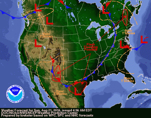
Cold front will move through the region this afternoon into the evening
Monday – Wednesday
A high pressure builds in the region on Monday and will bring seasonable temperatures up to Wednesday. This high pressure will begin to move off the Mid-Atlantic coast on Wednesday, leading to a gradual warming trend.
Monday Forecast: Sunny with highs in the lower 80s. Northwest winds around 9mph. Night will be mostly clear with lows dipping to the lower 60s and calm winds
Tuesday Forecast: Sunny with highs in the lower 80s. Light and variable winds. Night will be mostly clear with lows in the mid 60s
Wednesday Forecast: Sunny with highs in the mid 80s